Exploring Northern Martinique
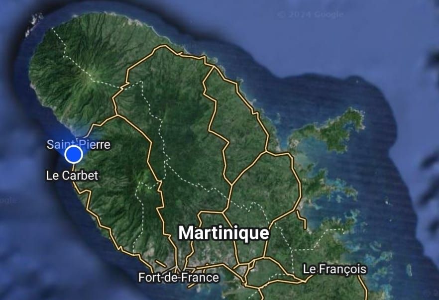
We decided to rent a car on Wednesday and Thursday so that we could explore the island a bit with our friends on SV Seascape. Thursday was just for shopping in the big city (Fort de France) and to satisfy our craving for some Tex-Mex, but Wednesday...on my, what an adventure!
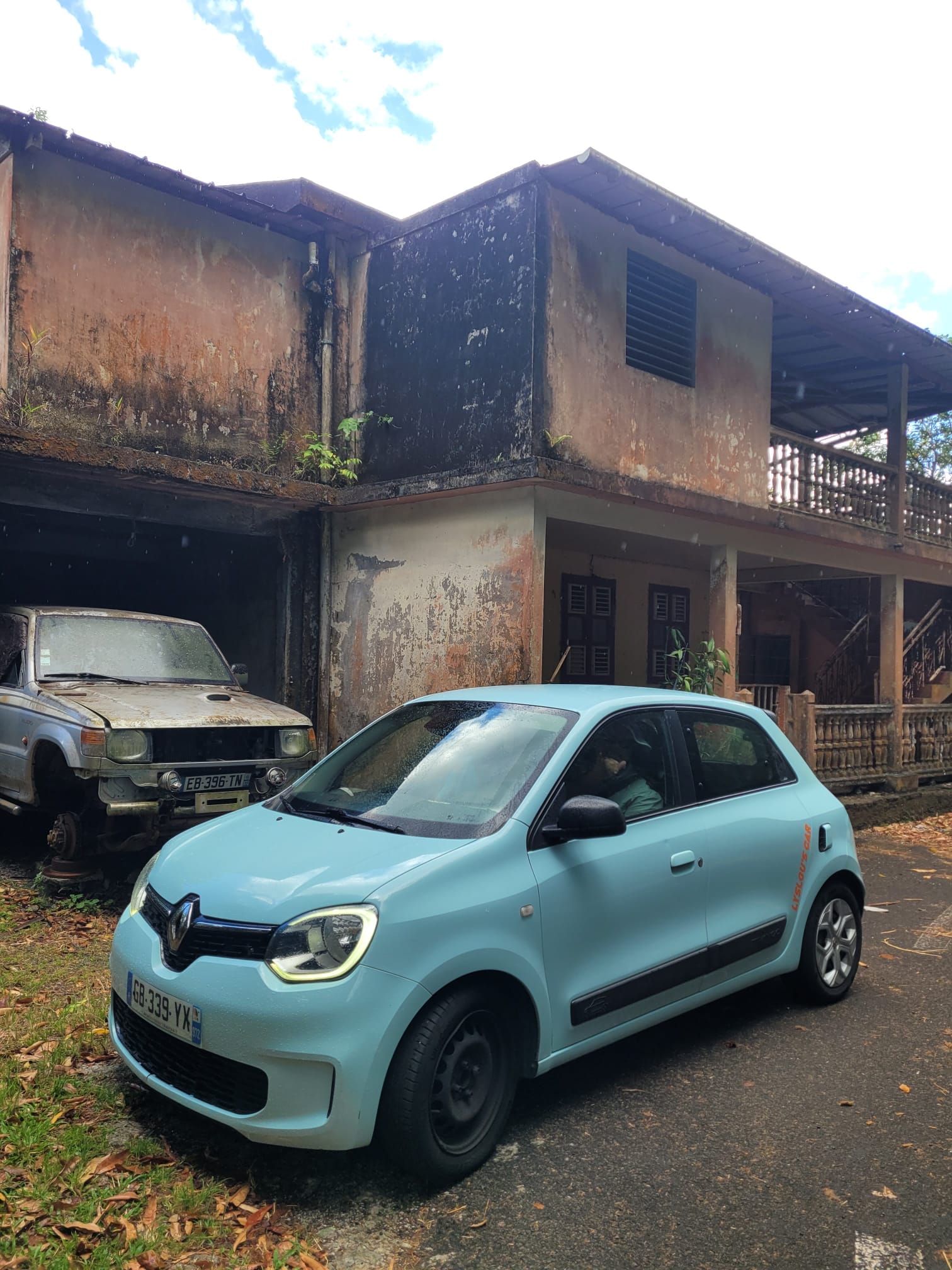
Our car was this adorable little thing, 4 doors, manual transmission, sky blue color with bright orange stickers, called a Renault Twingo. It screams "I'm a tourist, stay clear!" It also screams "I'm barely capable of making it up hills in first gear with 4 adults" thanks to its 3 cylinder engine.

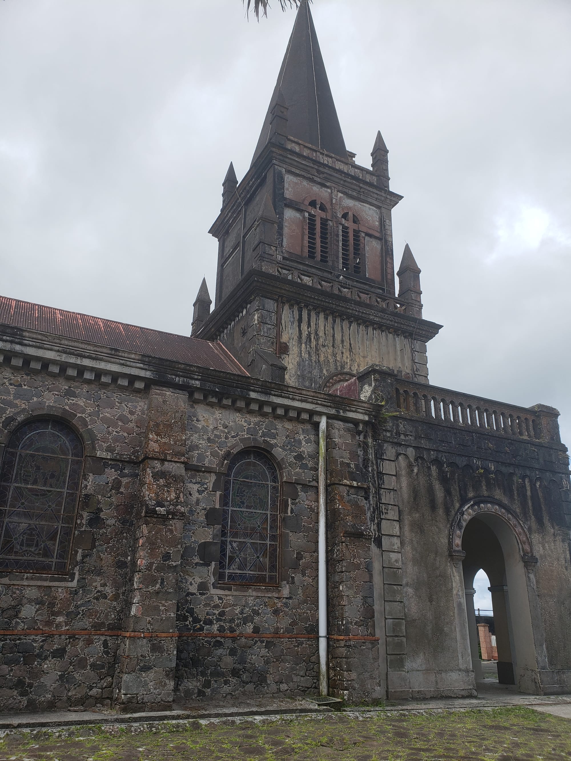
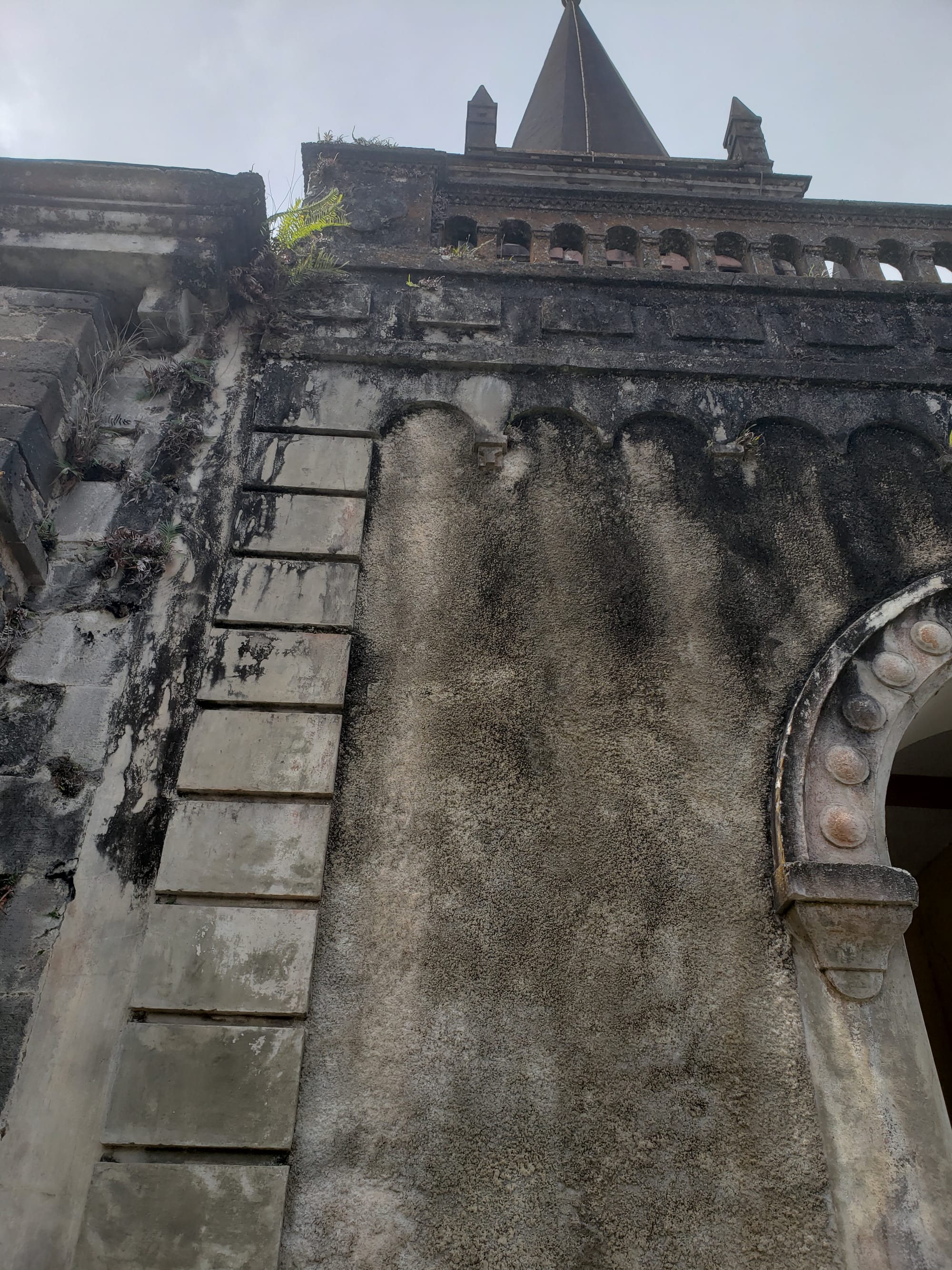
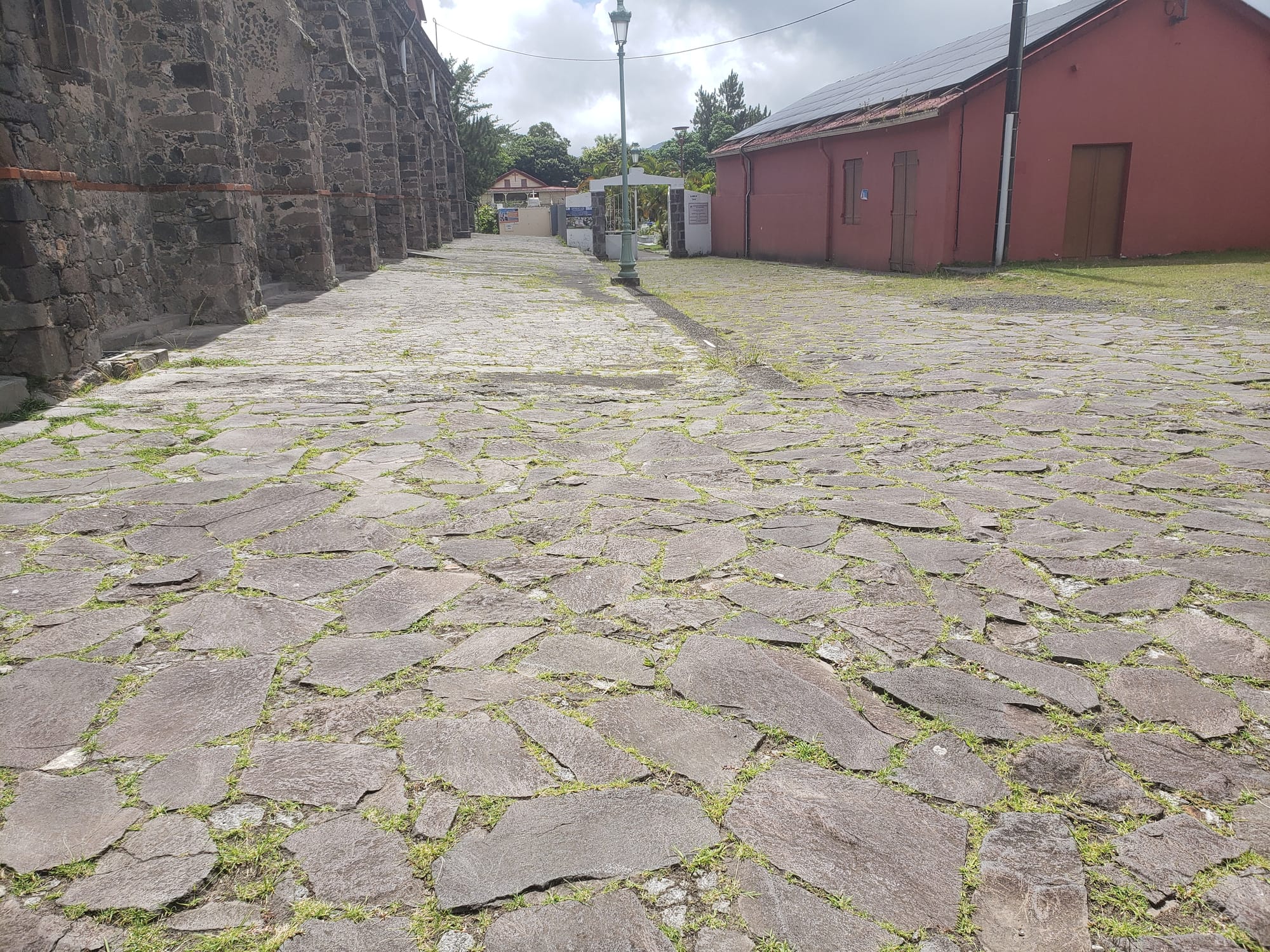
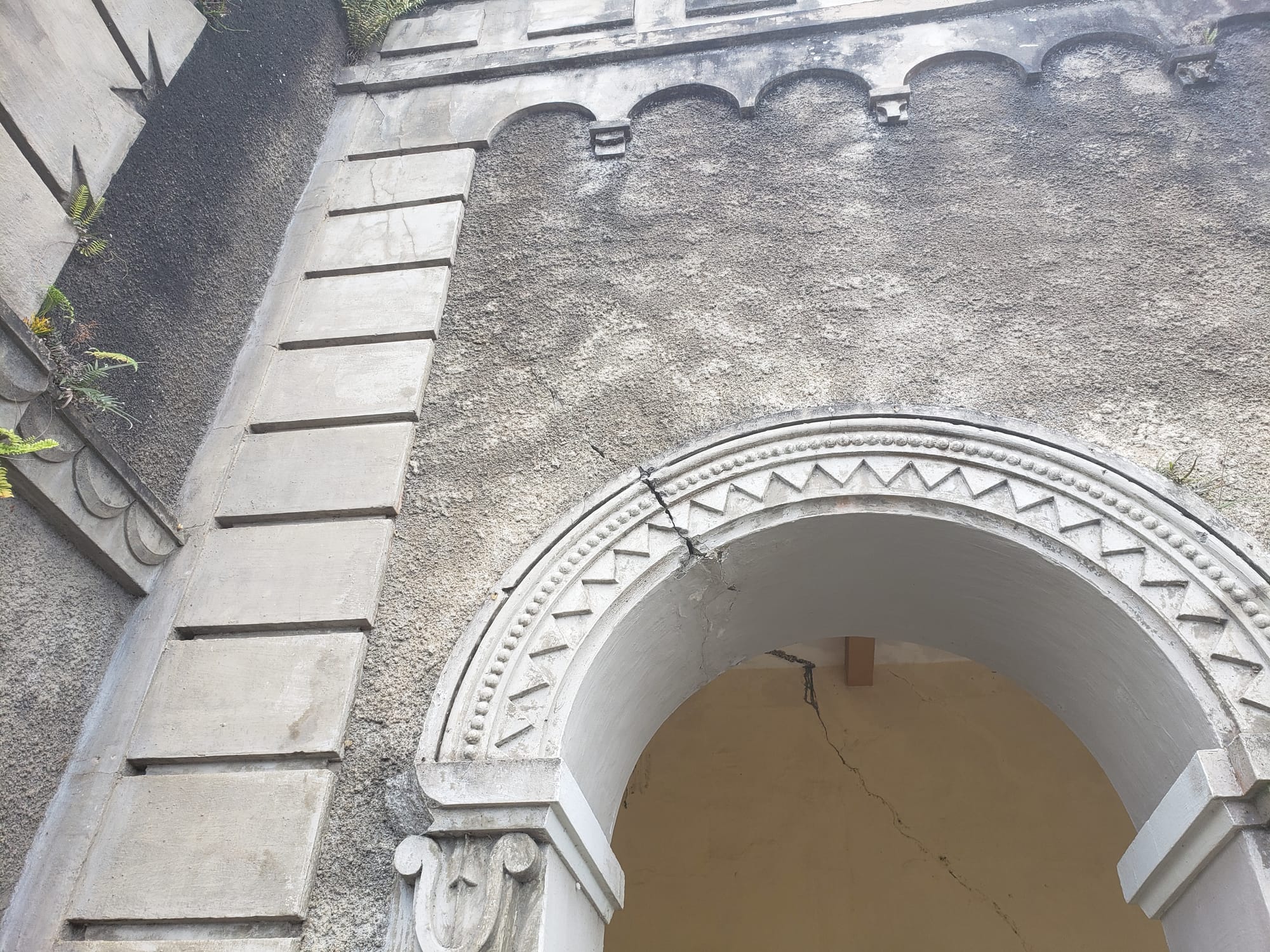
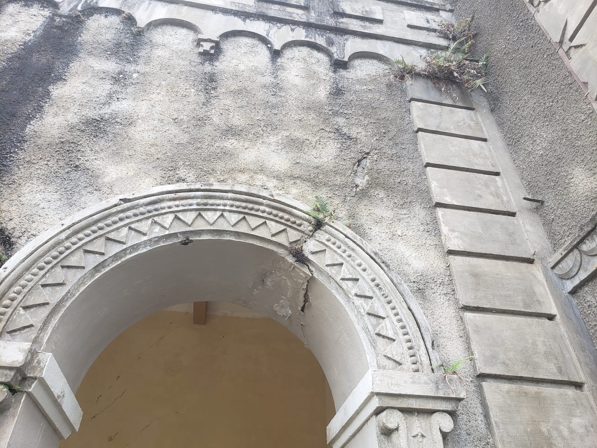
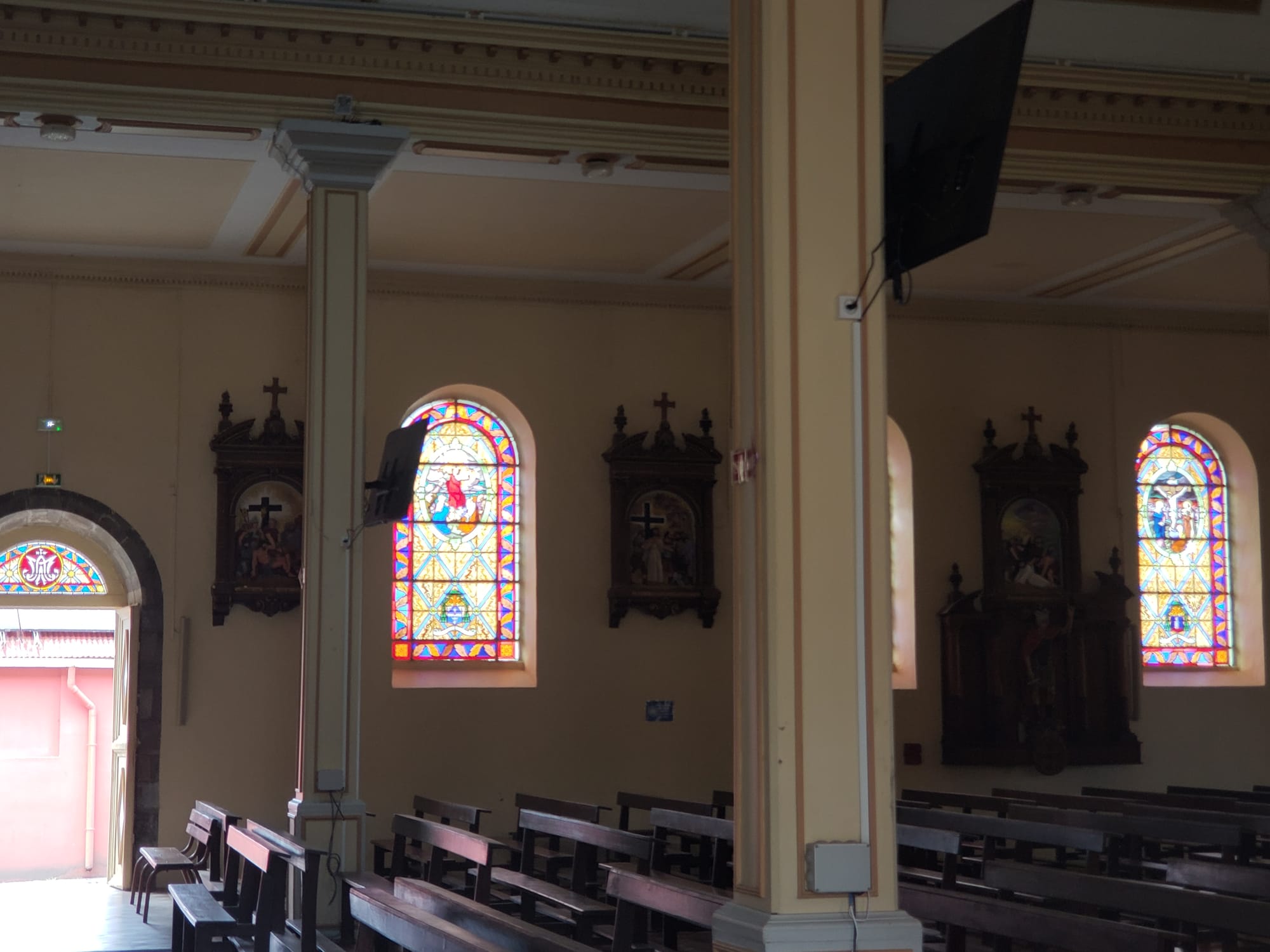
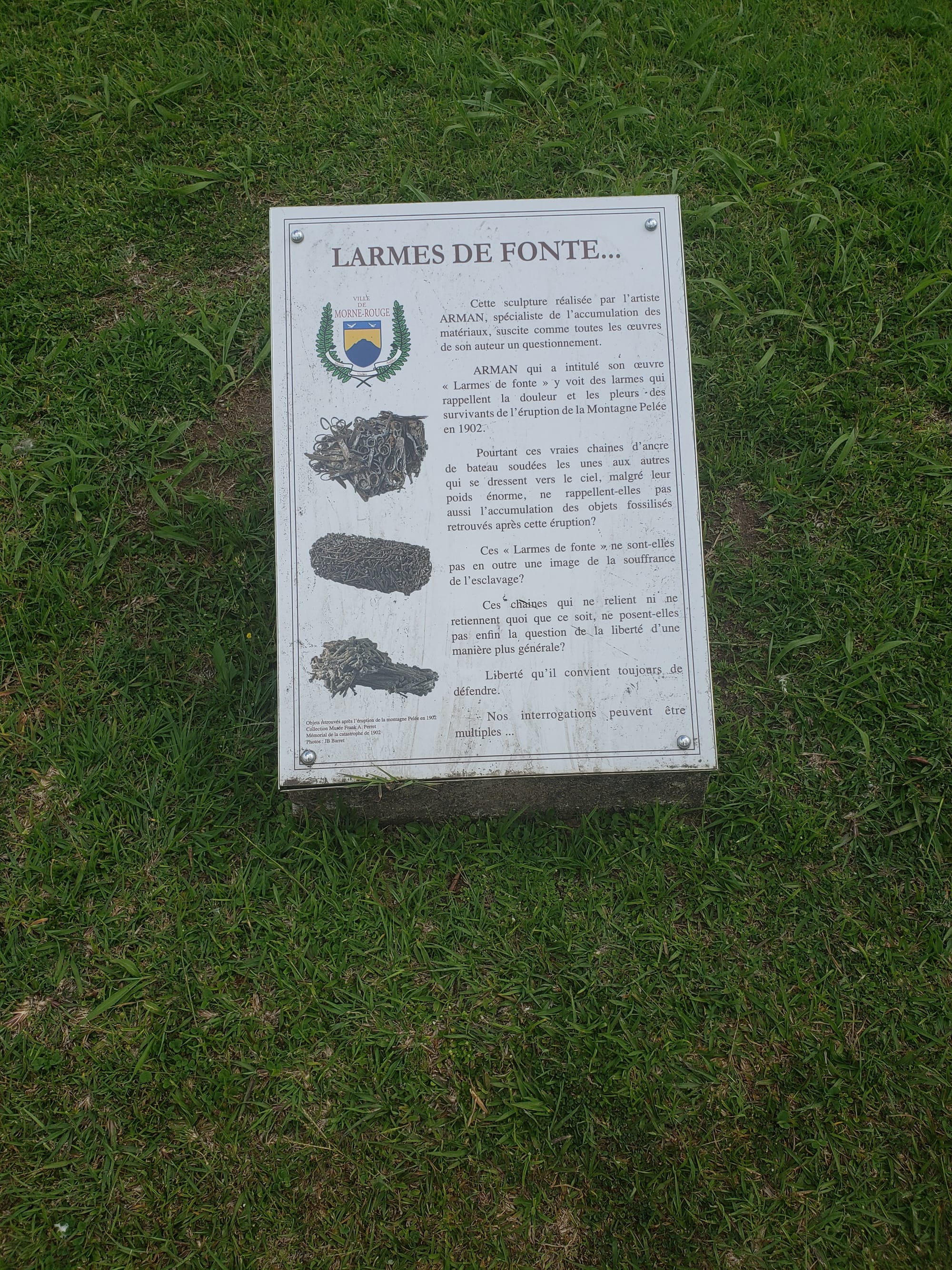
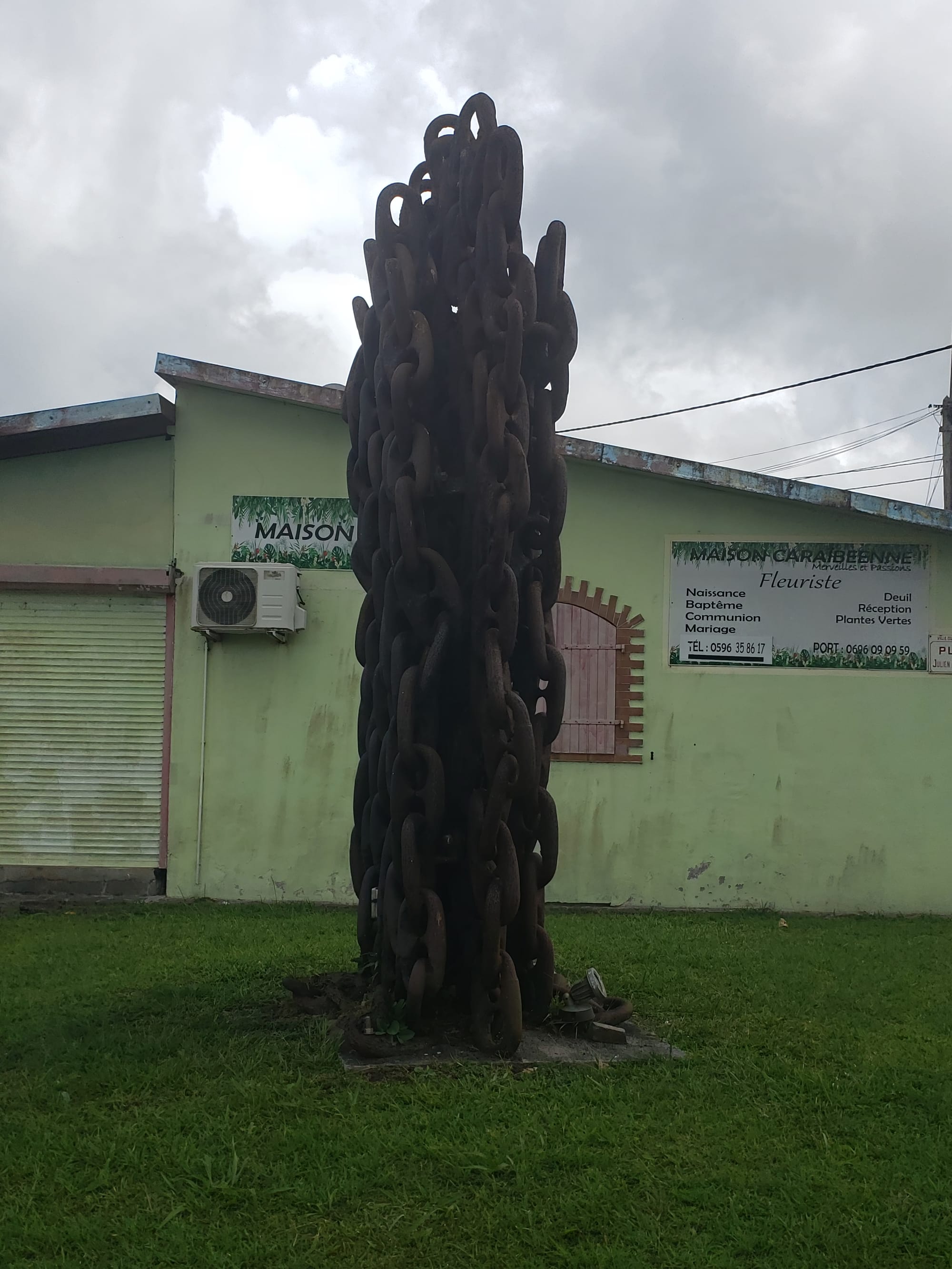
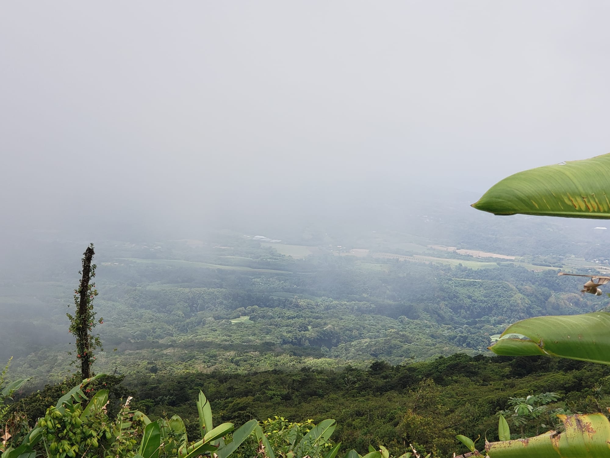
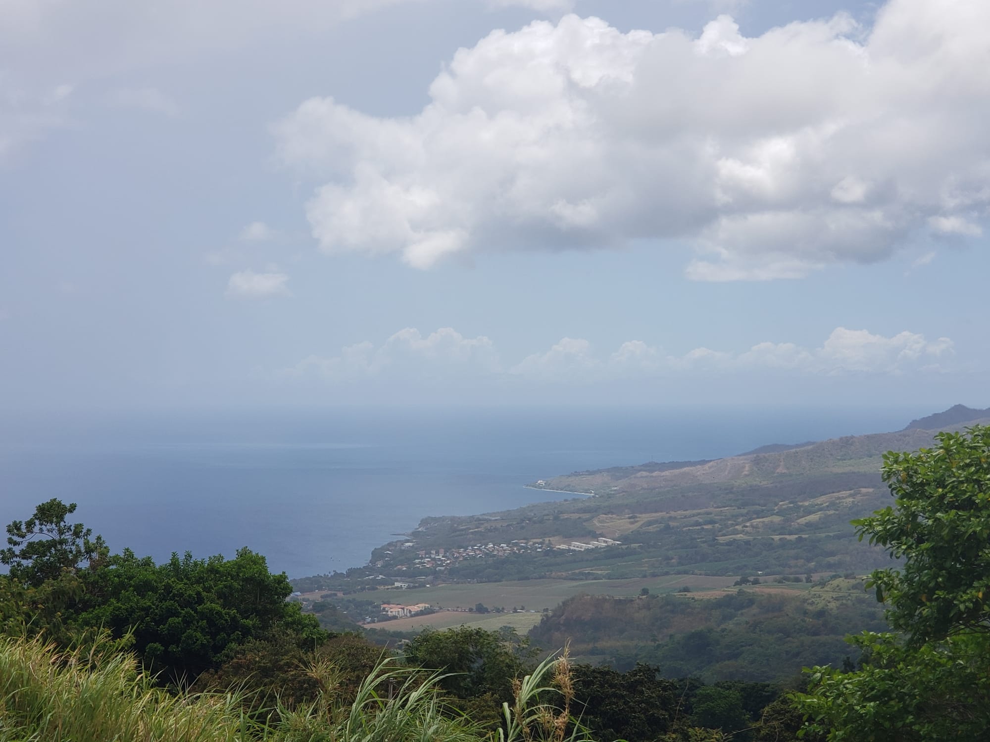
Our first stop was at a church in Morne Rouge with a scenic overlook nearby. The stained glass in the church was quite beautiful, and the building looked to be fairly old, with obvious European influences.
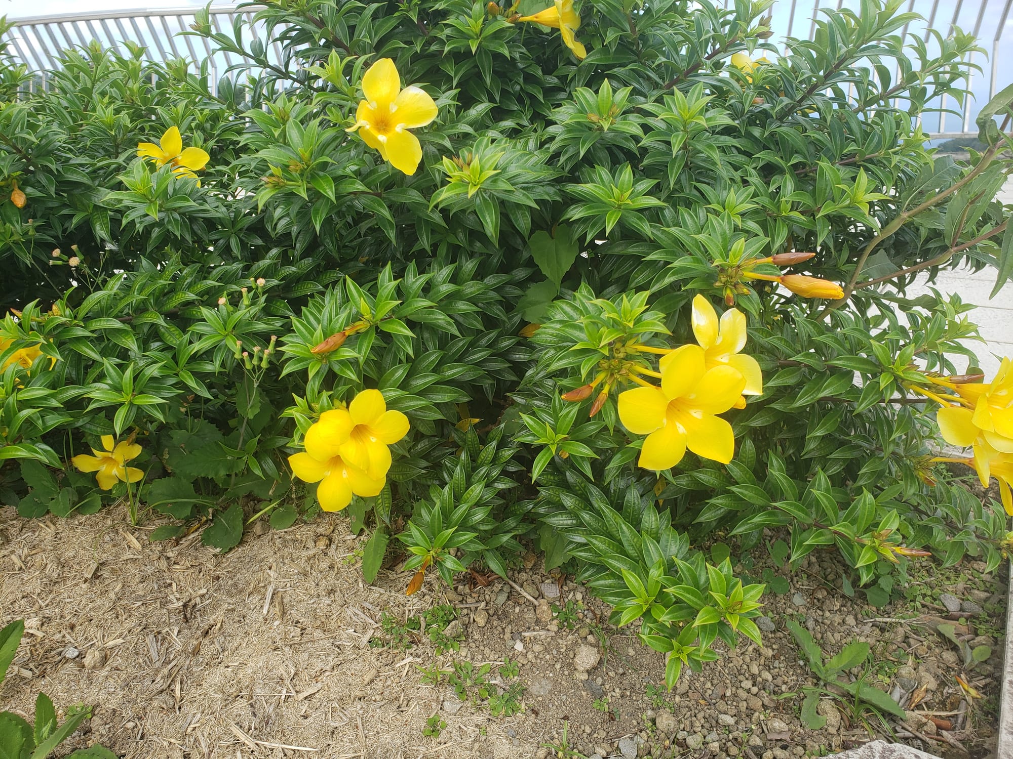
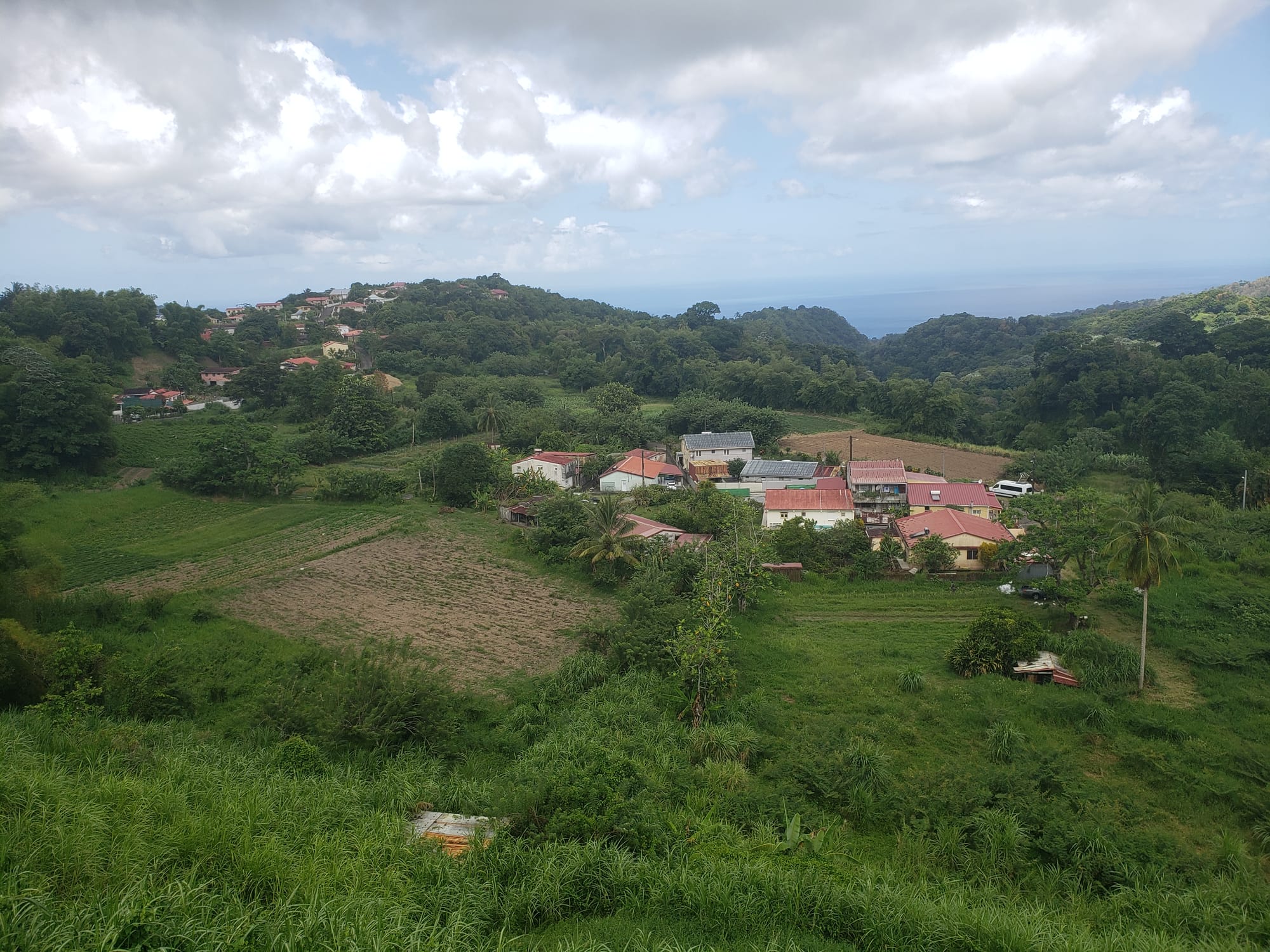
And the views from the overlook were stunning.
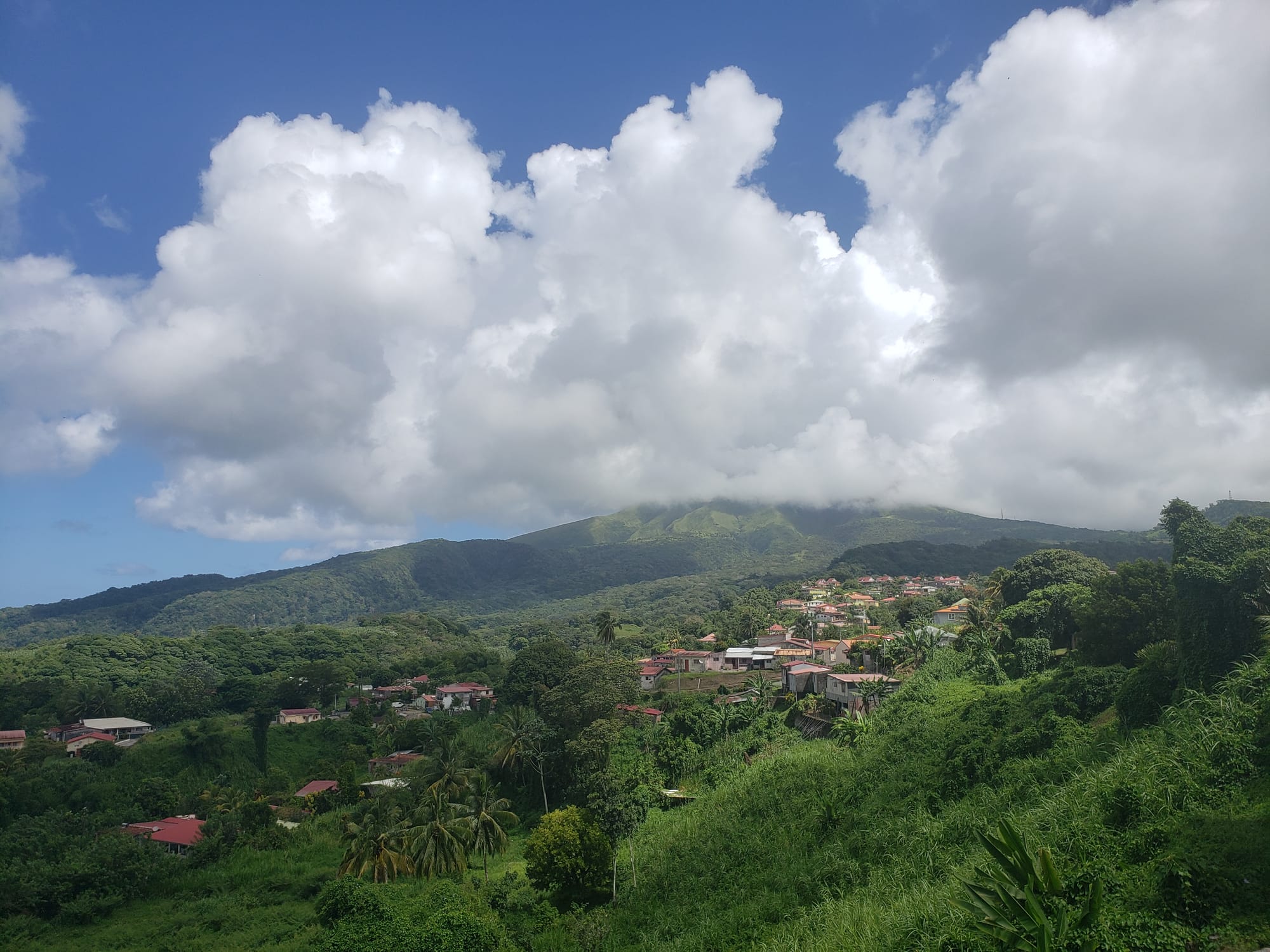
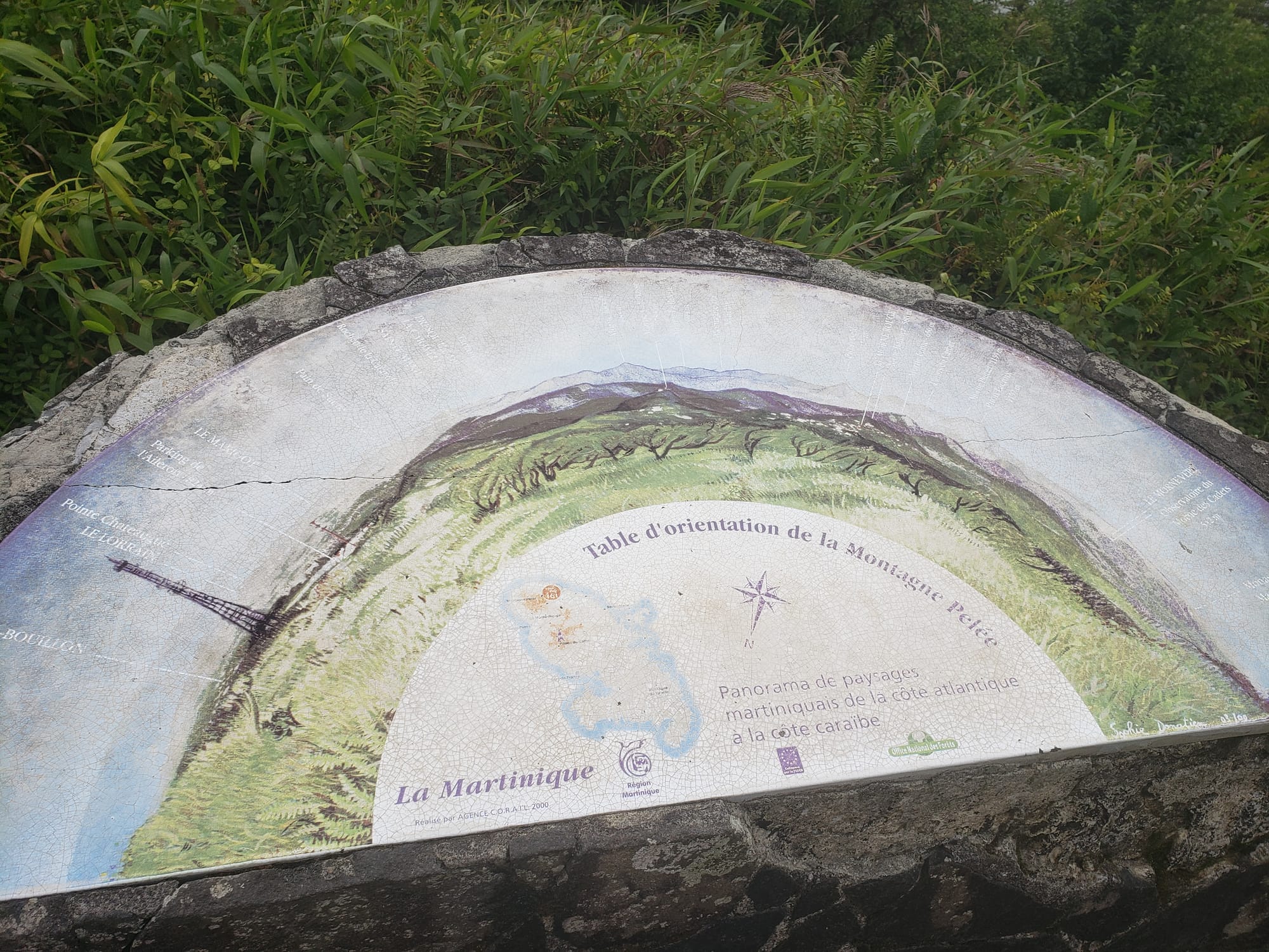
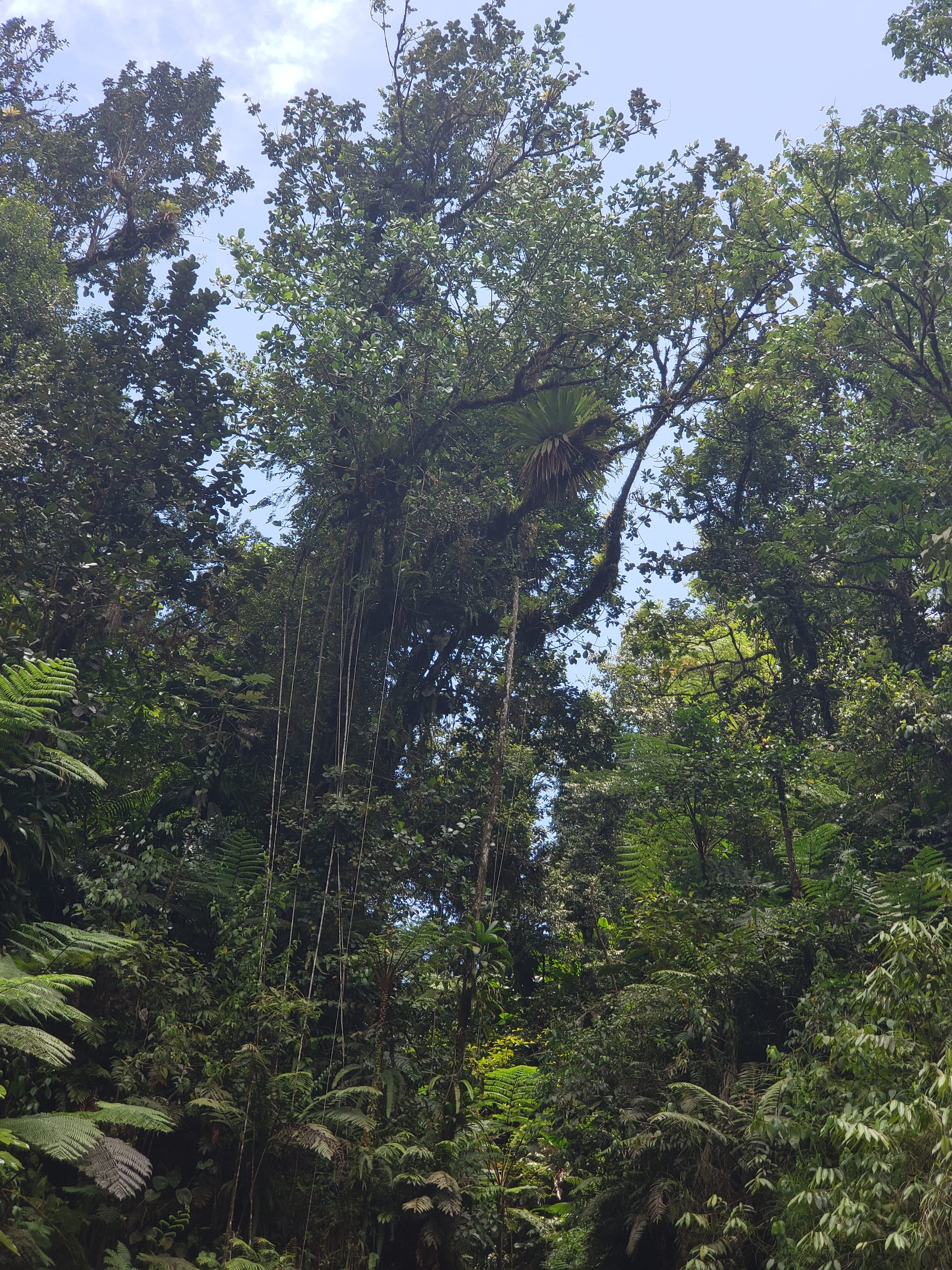
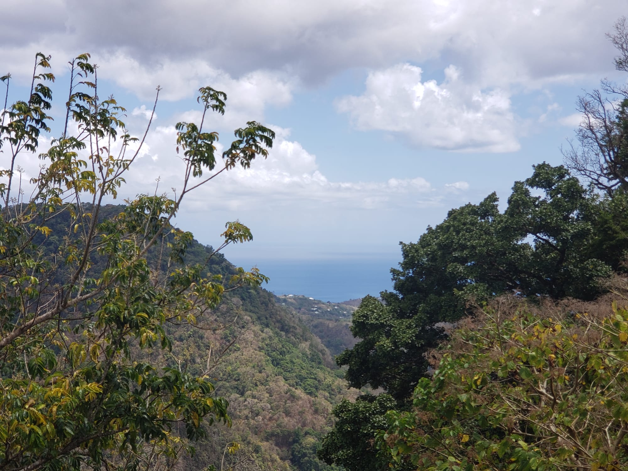
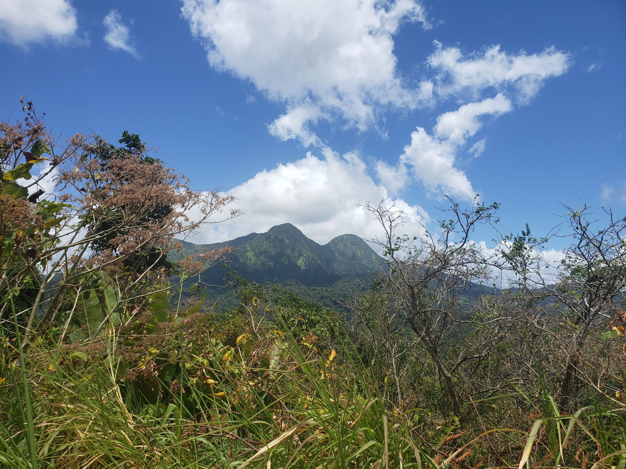
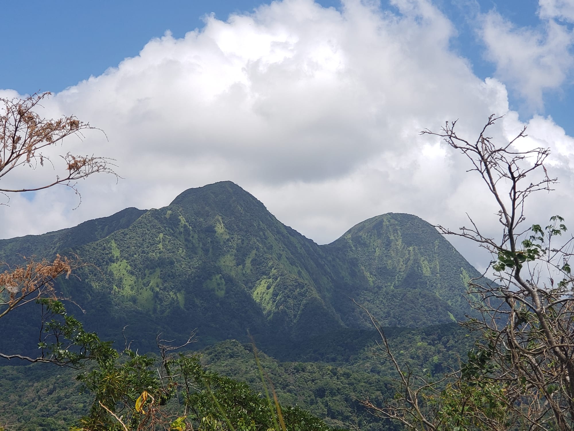
Next up was a stop at the trailhead for the northern volcano peak, Montagne Pelée, the one that we can see from our anchorage.
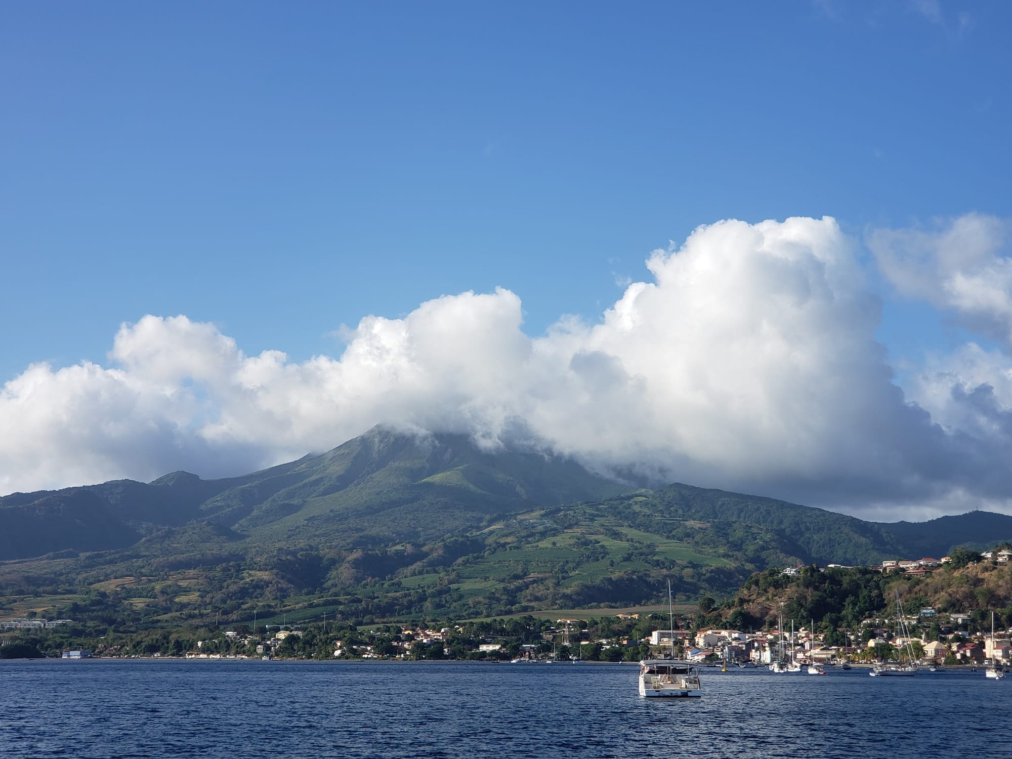
This volcano last erupted in 1932, so we felt safe enough to attempt to summit it.
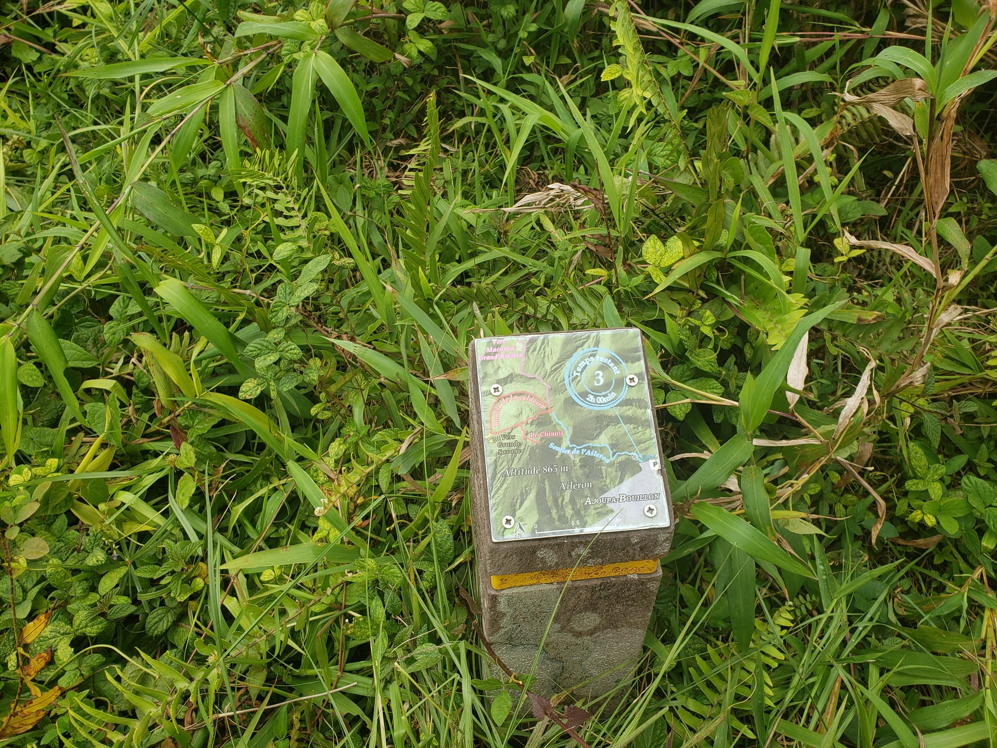
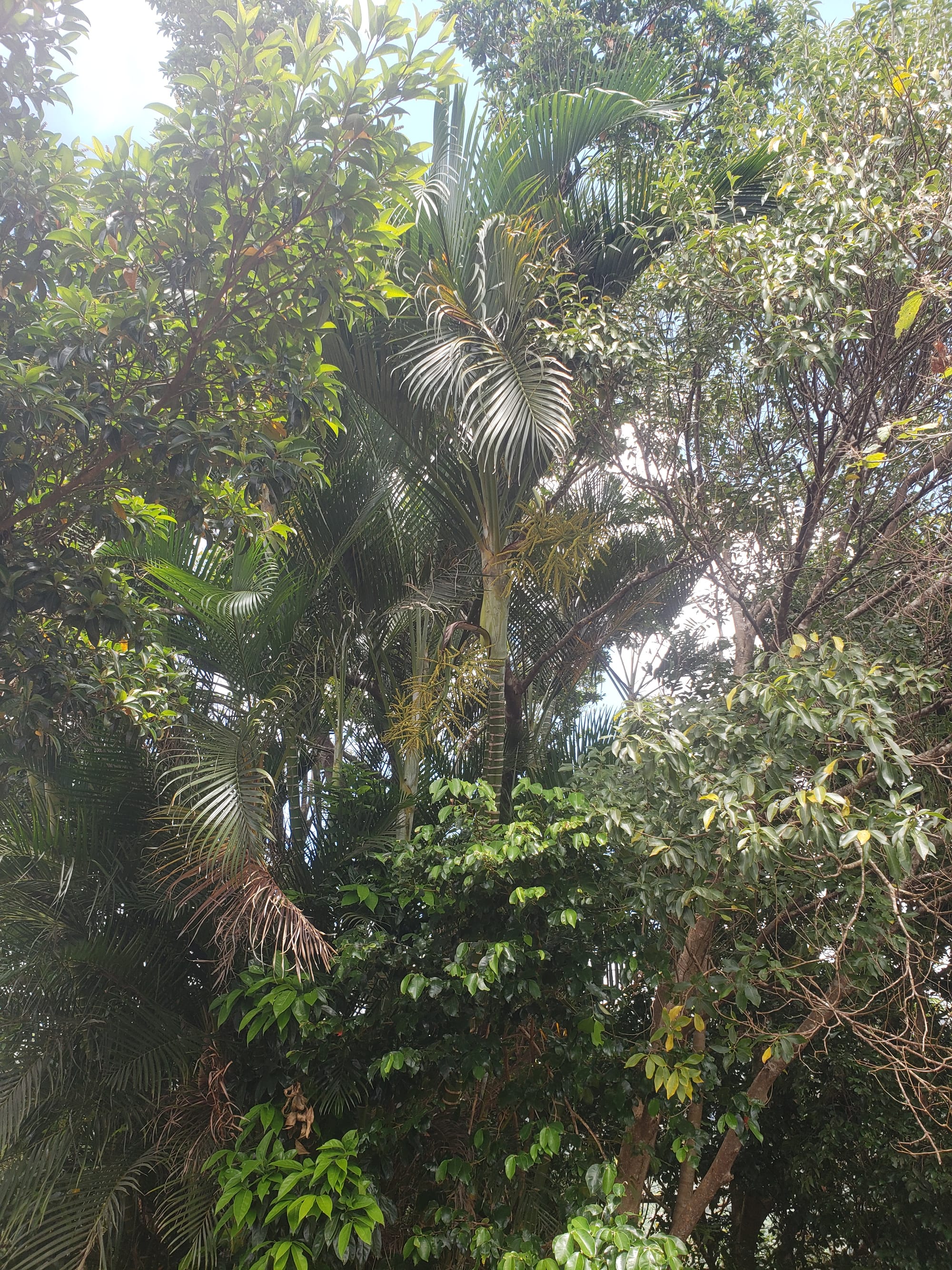
We decided to go as far up the trail as our out-of-shape bodies would let us. And by "up the trail", I mean UP the trail! And, unsurprisingly, our bodies wouldn't let us go very far. I think we gained 500 feet of altitude and walked maybe 1.5 miles before turning back.
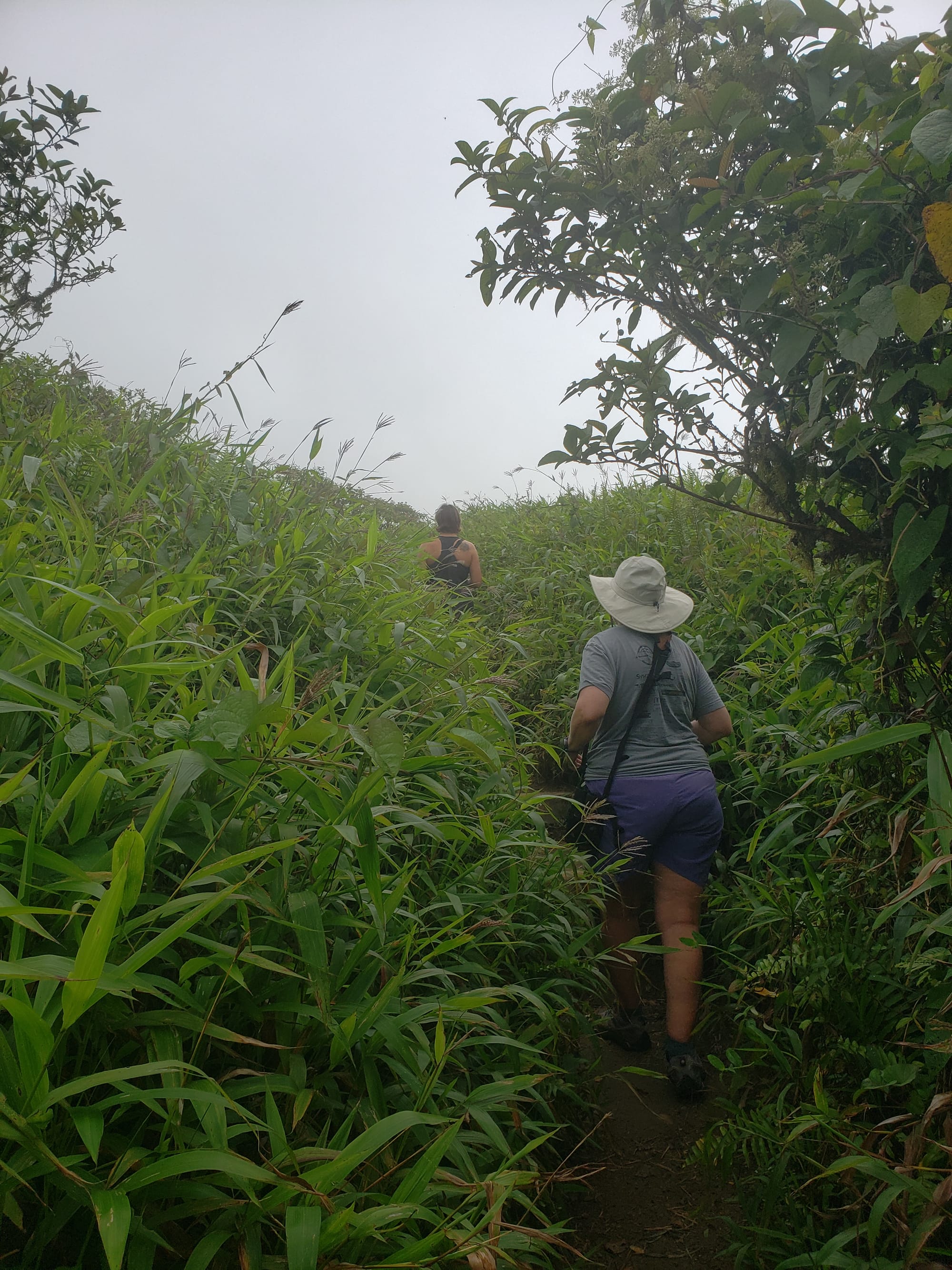
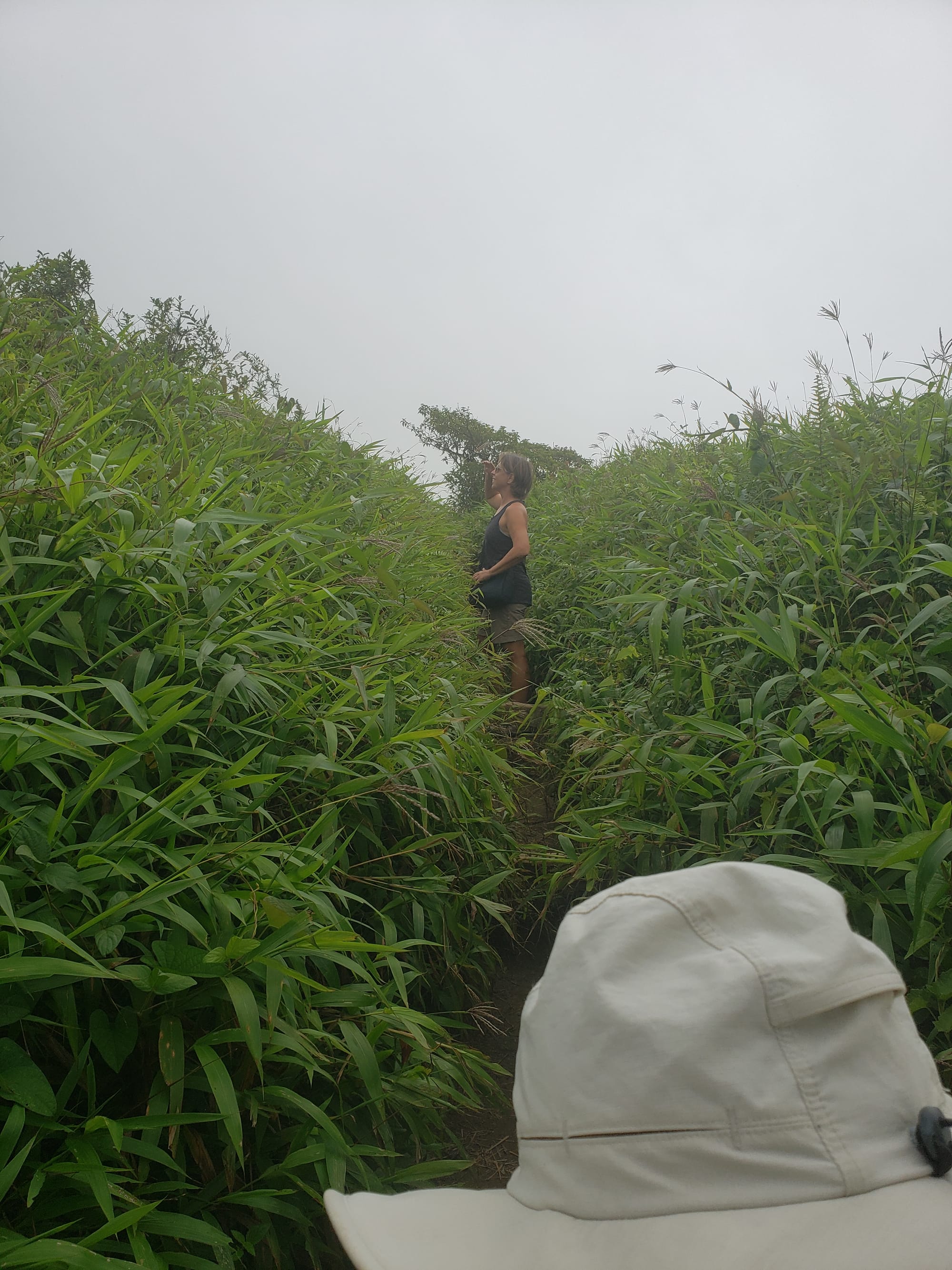
We had hoped that being at higher altitude would bring us cooler temperatures, but we were surprised to find that it was nearly as hot and humid there as at sea level. This made for a very sweaty hike...
The volcano is frequently covered in clouds, but we managed to see the peak during some sporadic breaks in the clouds.
At the parking area for the trail, a clever entrepreneur has built a restaurant for thirsty and hungry adventurers like us. We couldn't resist stopping for a cold drink and some snacks, knowing that we were going to do some more hiking before lunch.
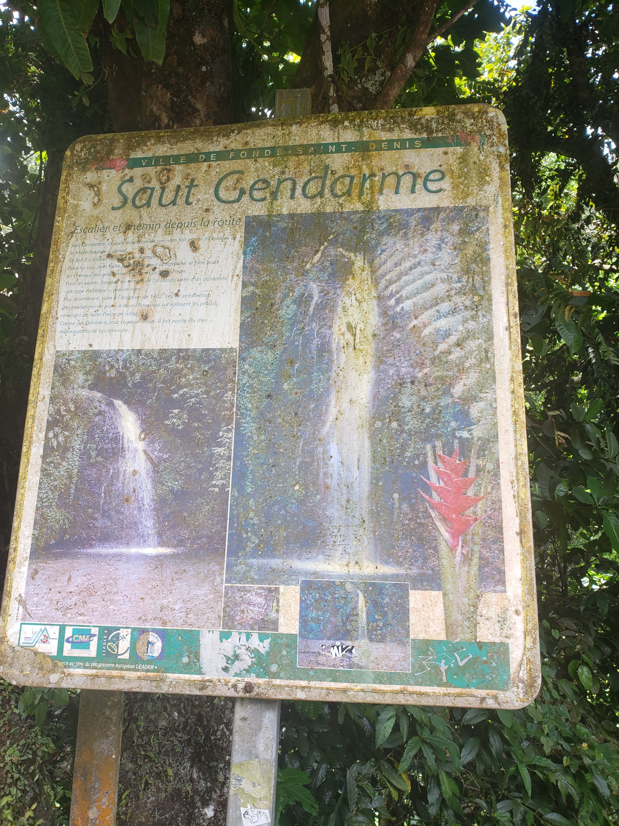
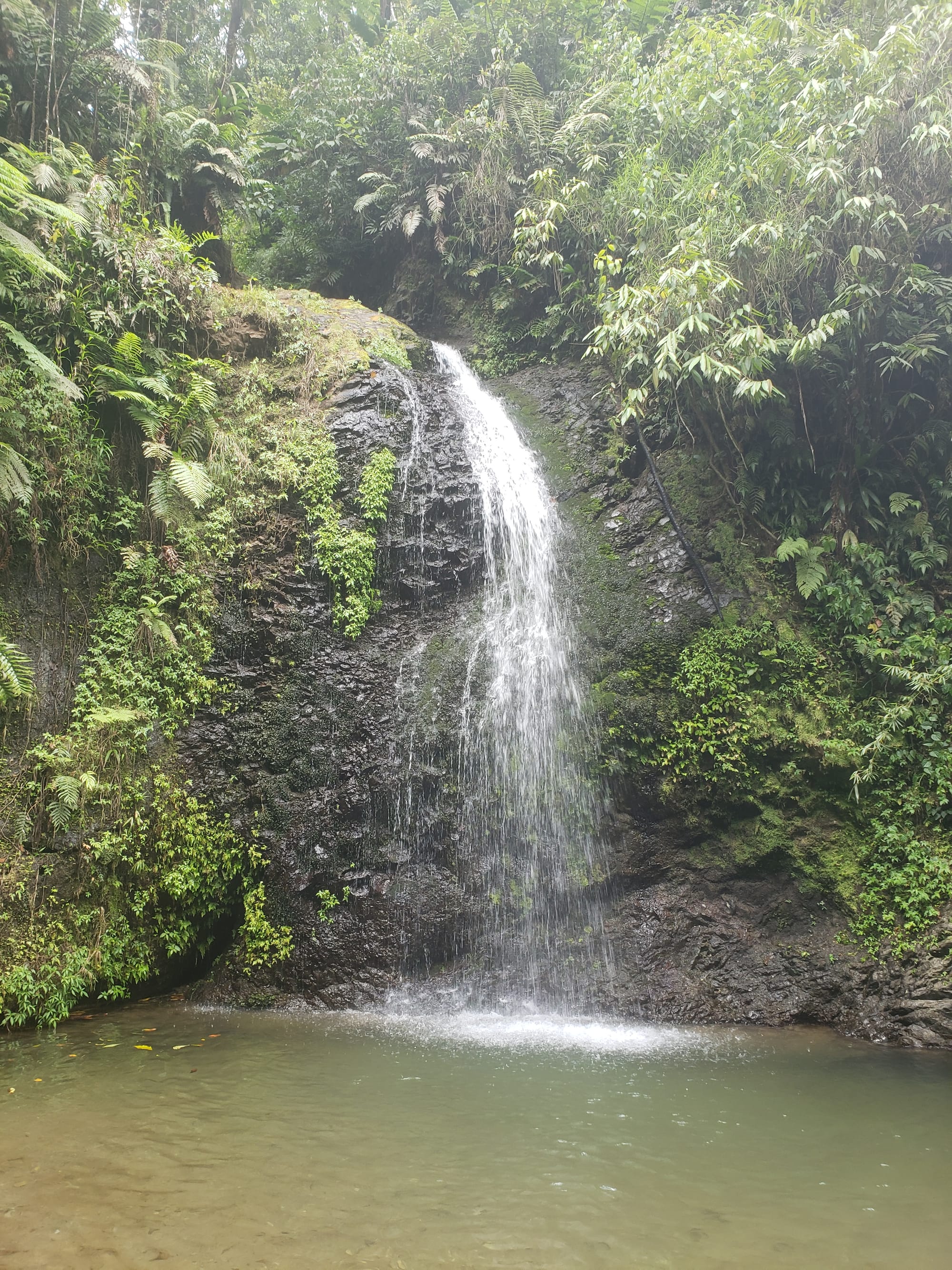
Driving down the mountain was much easier for the poor little car. We stopped at a lovely waterfall called Saut Gendarme.
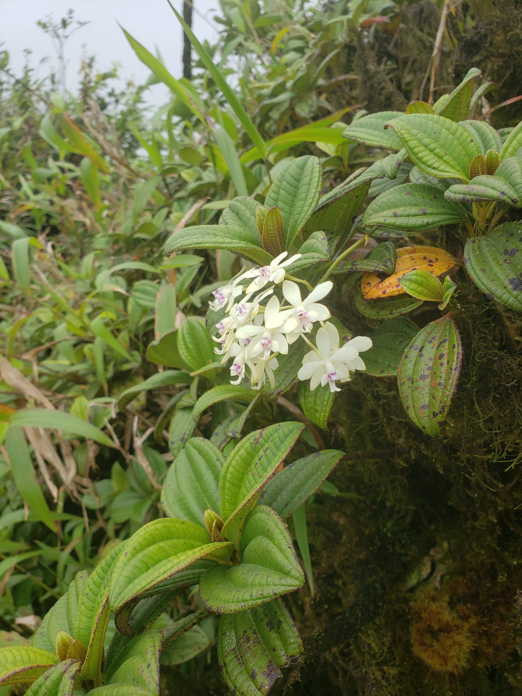
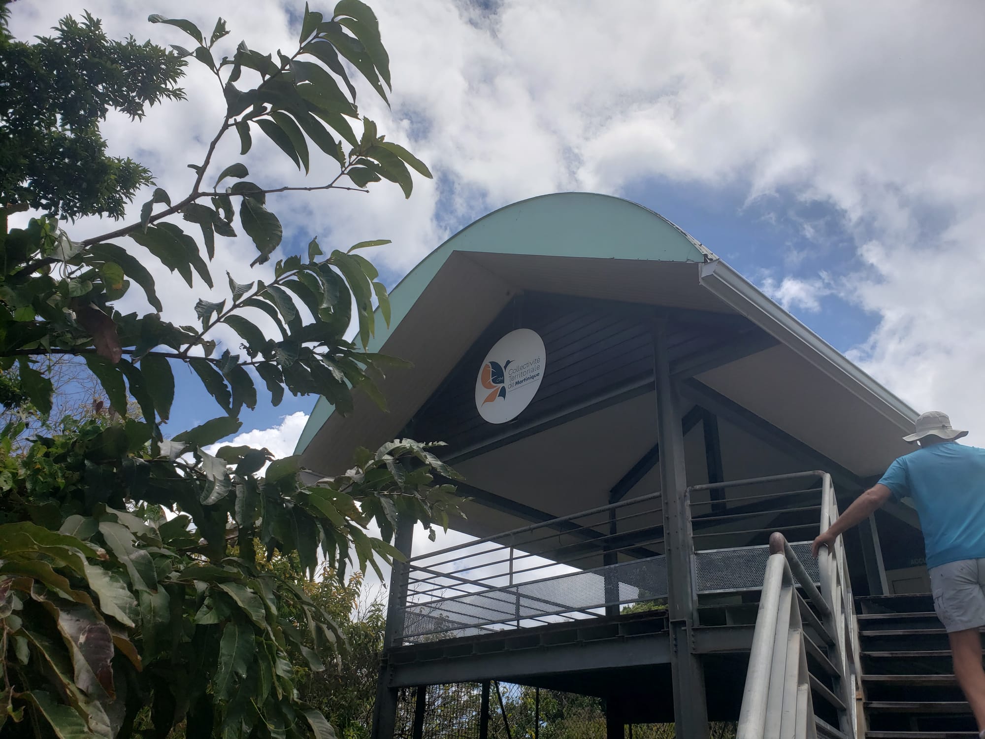
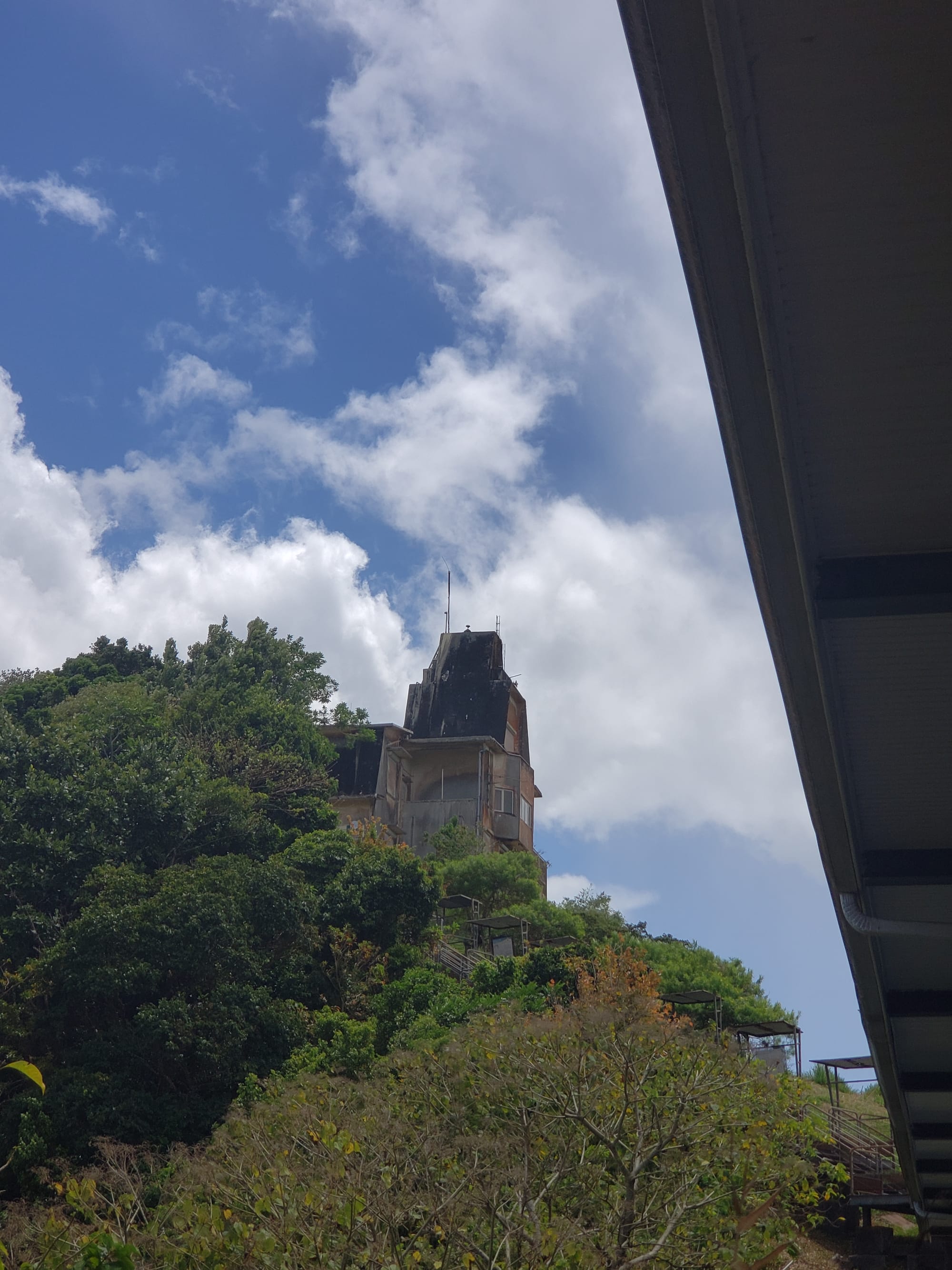
Continuing down the mountain, we saw an interesting educational observatory kind of place, the Collectivité Territoriale de Martinique. It was closed, and a bit run down, unfortunately. Still, it was another nice stop with beautiful views.
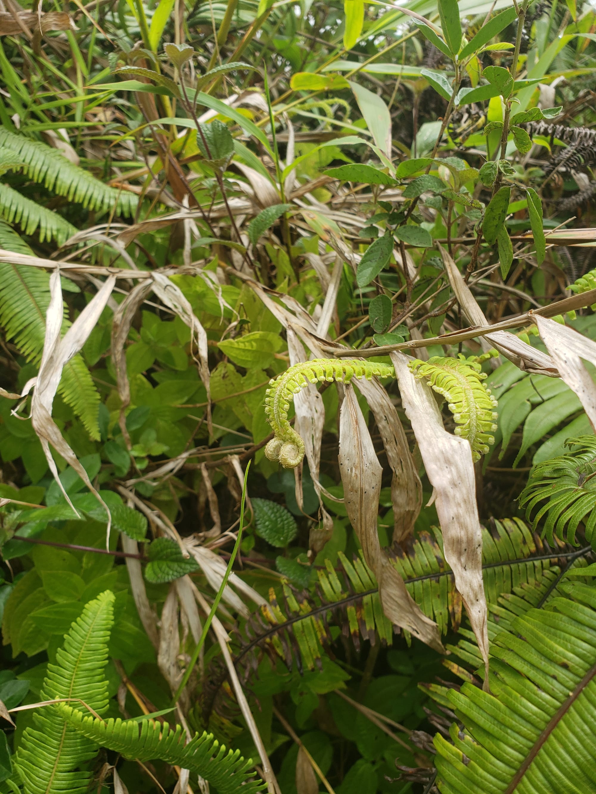
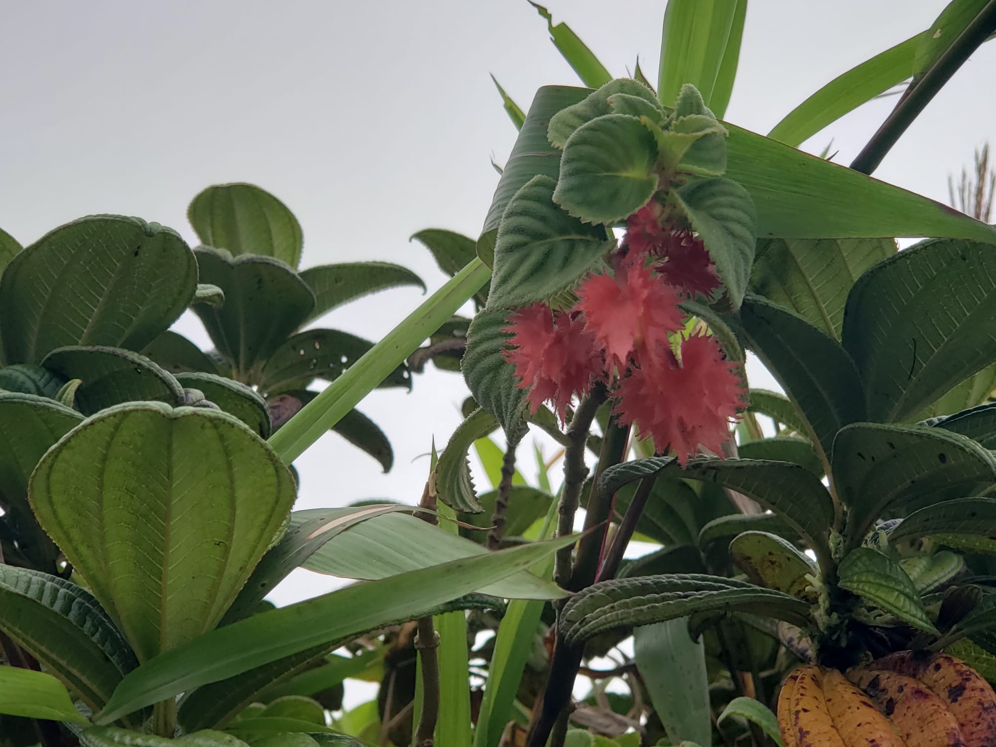
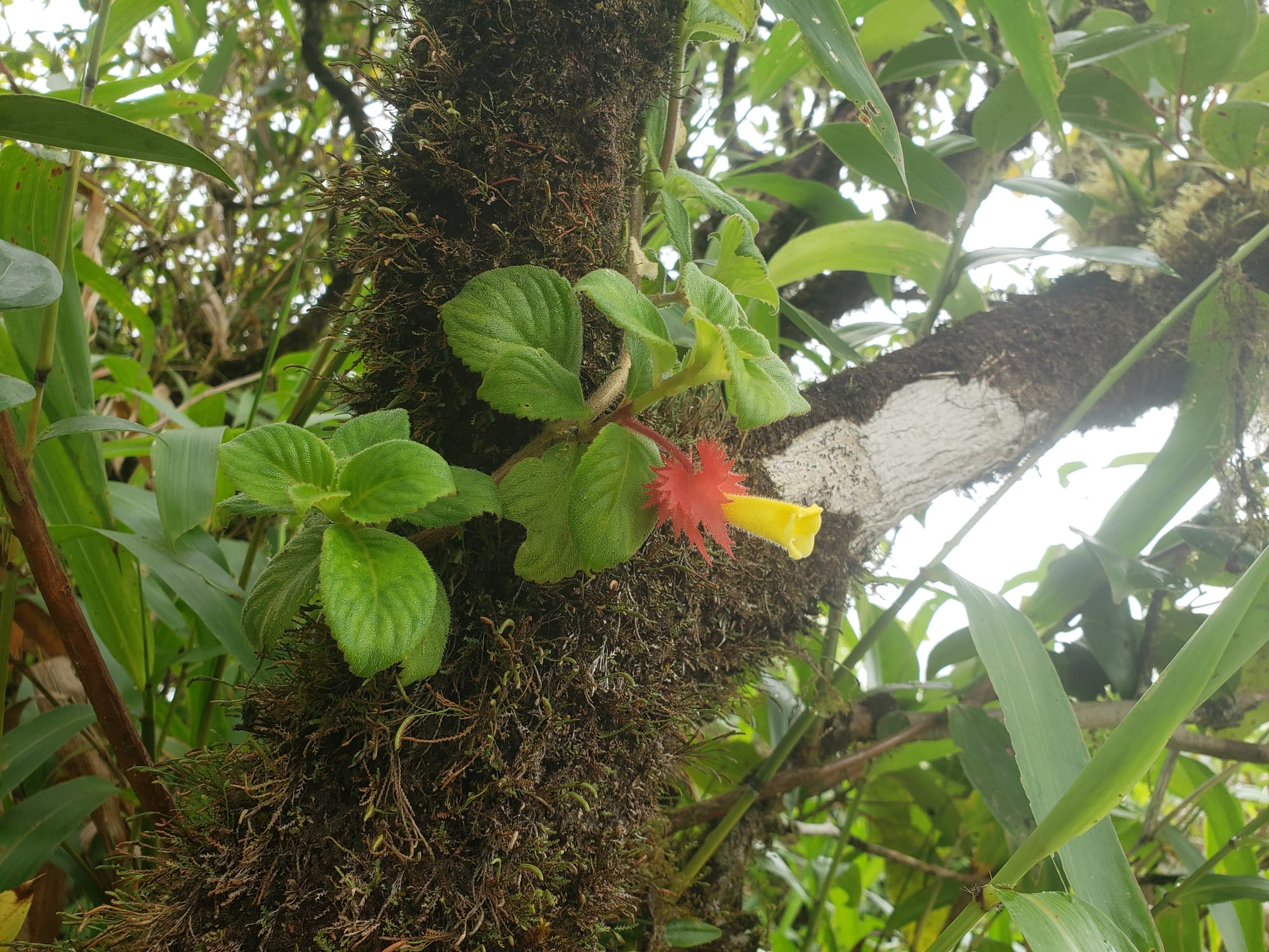
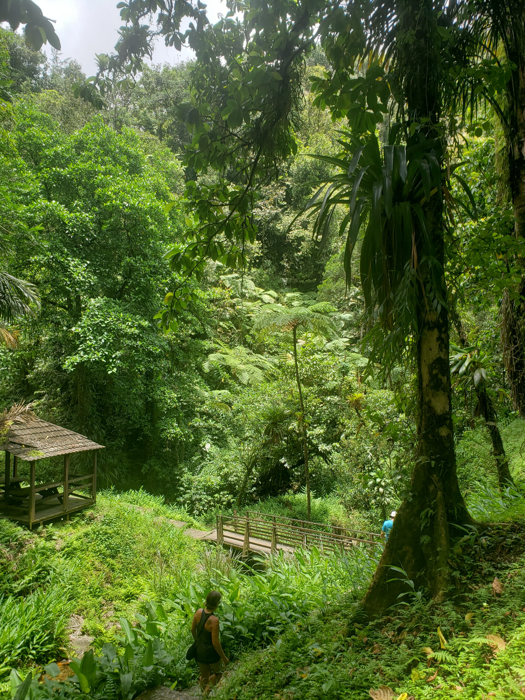
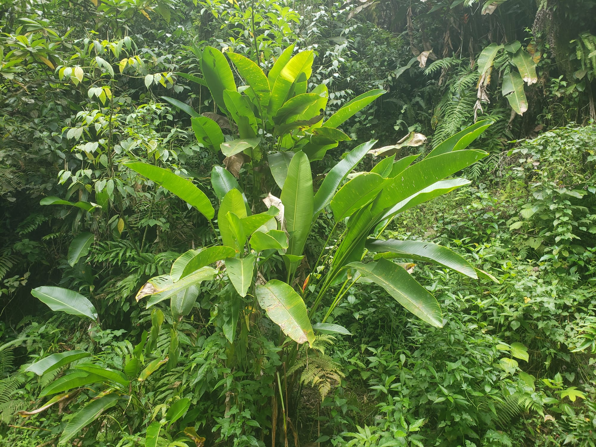
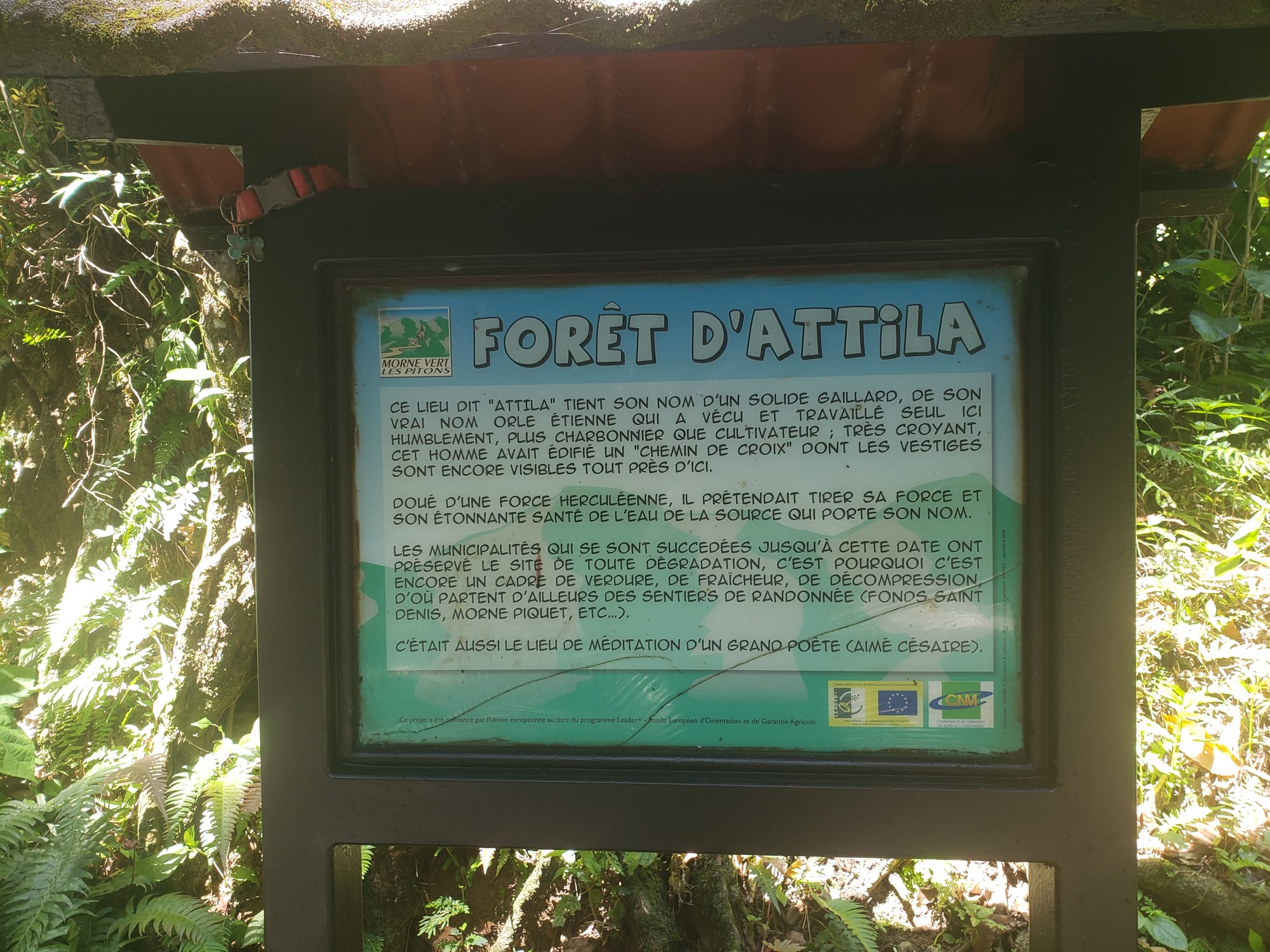
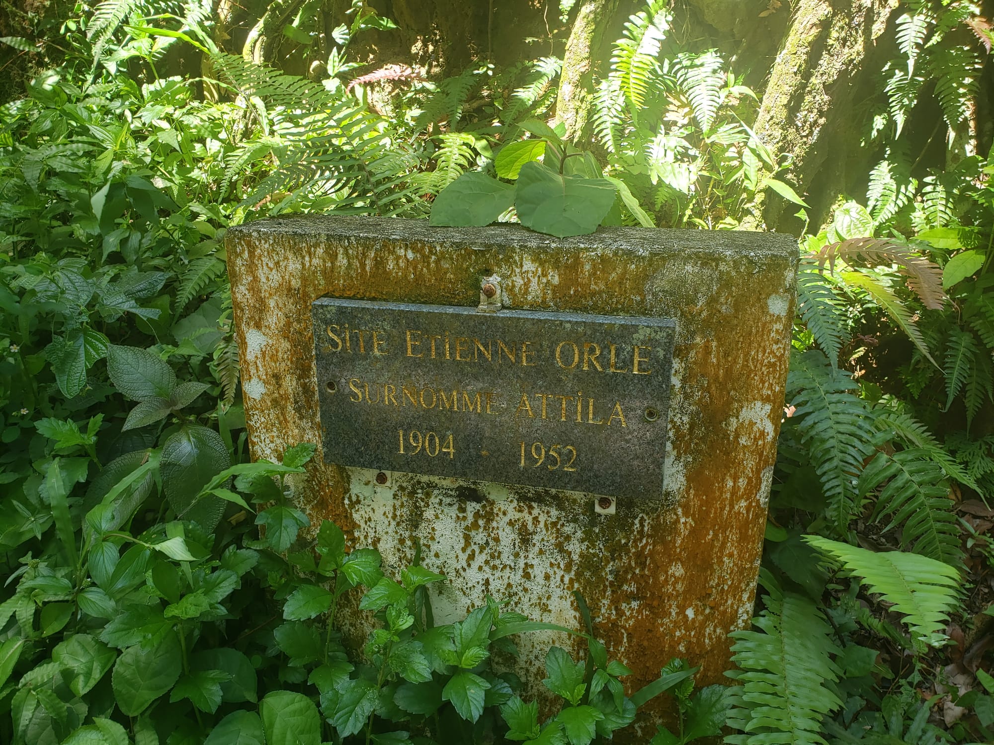
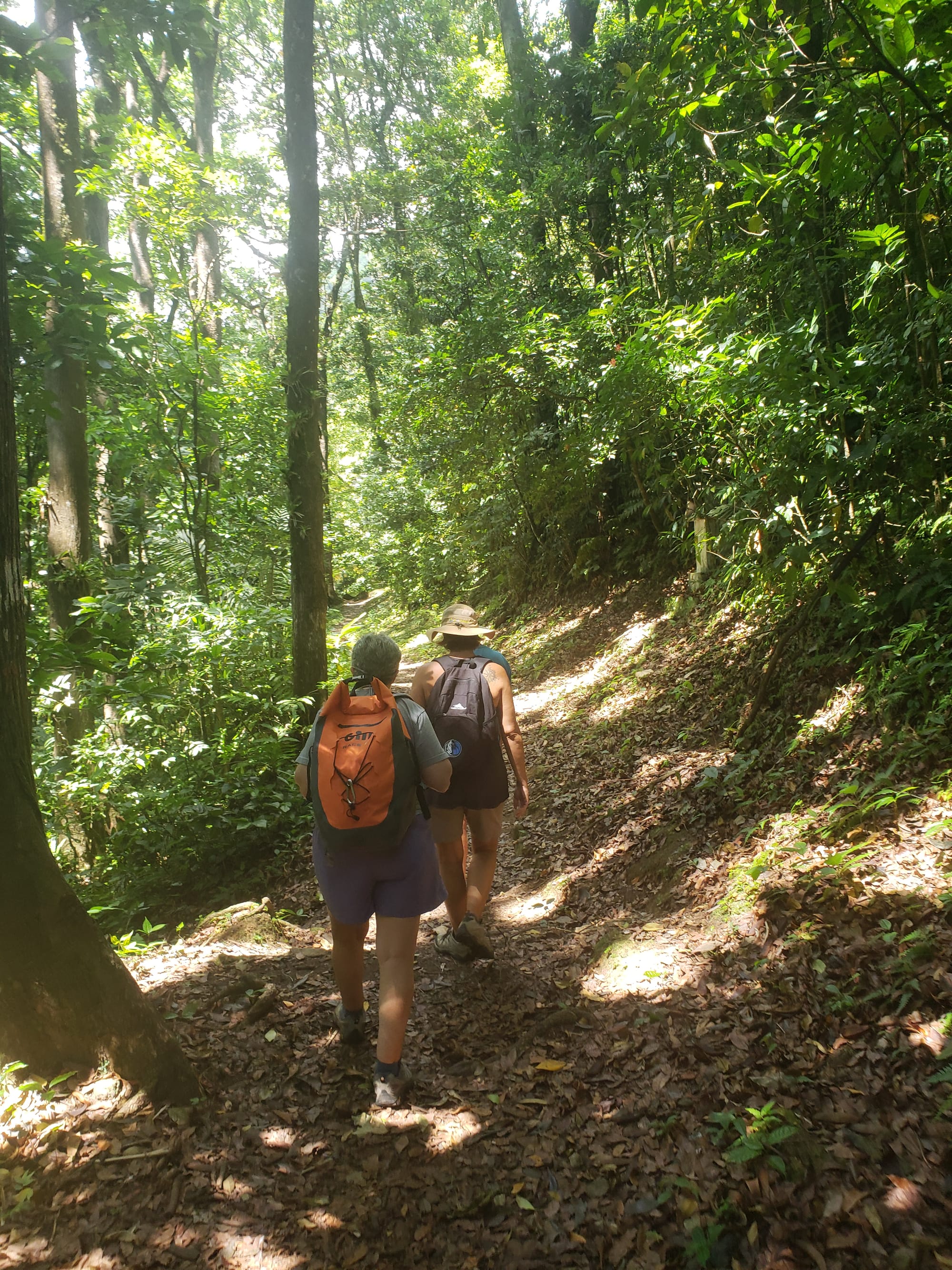
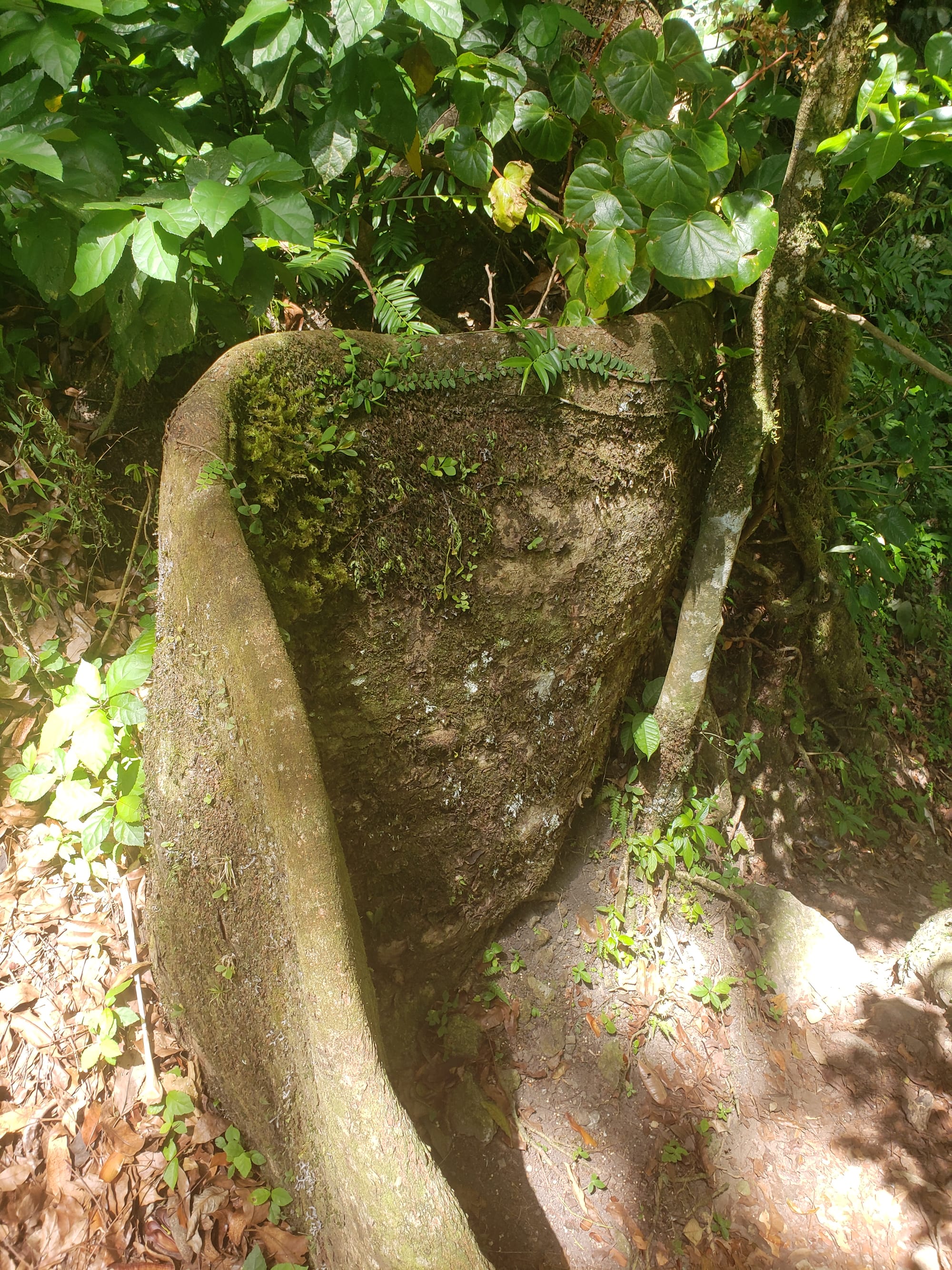
Our last adventure before lunch was an attempt to hike a trail in Forēt D'Attila. We started looking for the trailhead at the northern end, which is near an abandoned building guarded by an abandoned truck.
The trail sign said something like "this might not be the best place to start this hike". The trail went straight down the hillside, so we decided to go to the southern end instead.
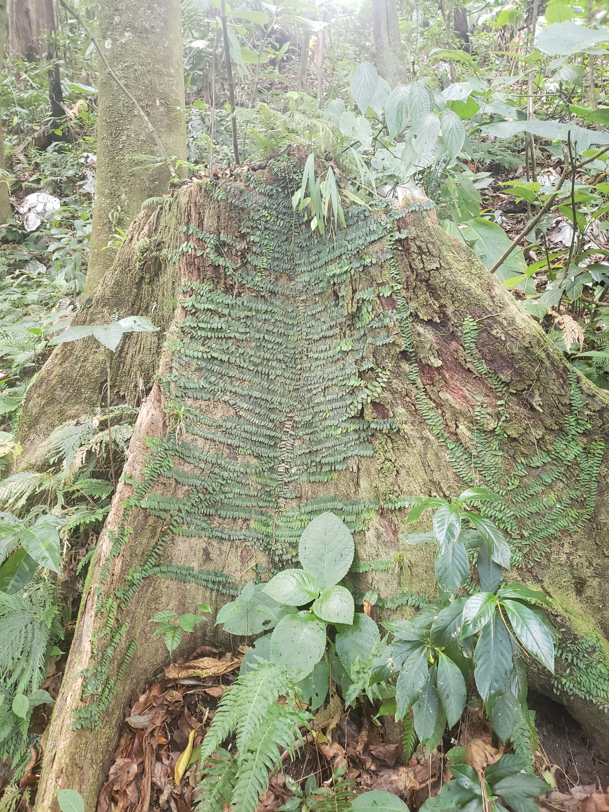
We drove along an increasingly steep and narrow road, wondering if we were going to end up in someone's front yard, needing to back all the way down the mountain. Thankfully, instead we were greeted with this:
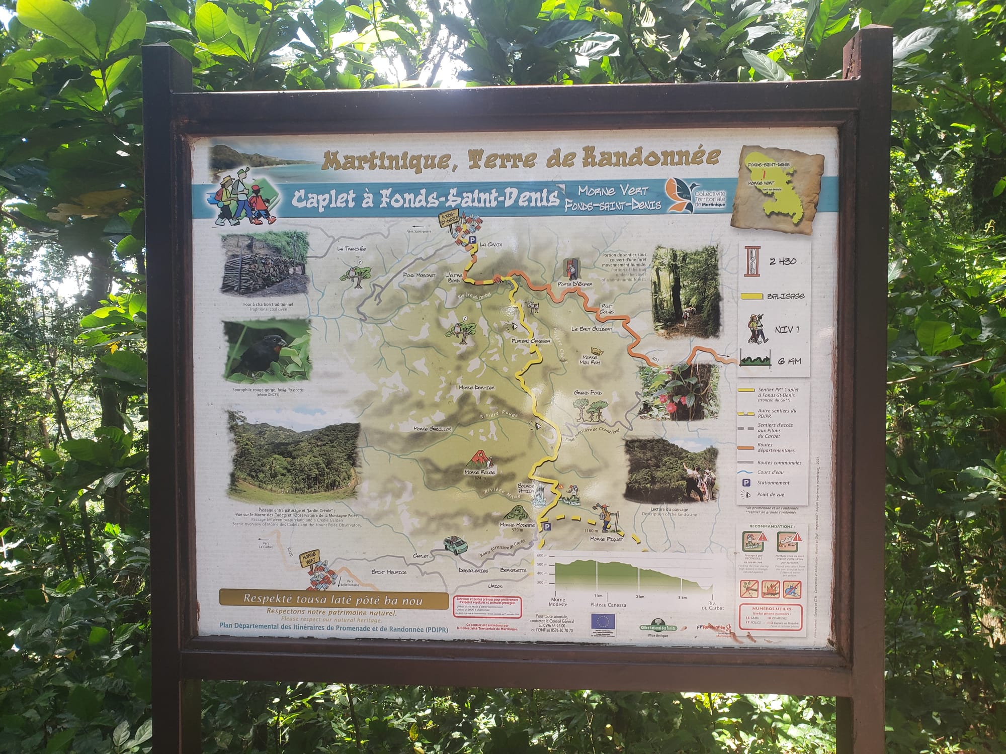
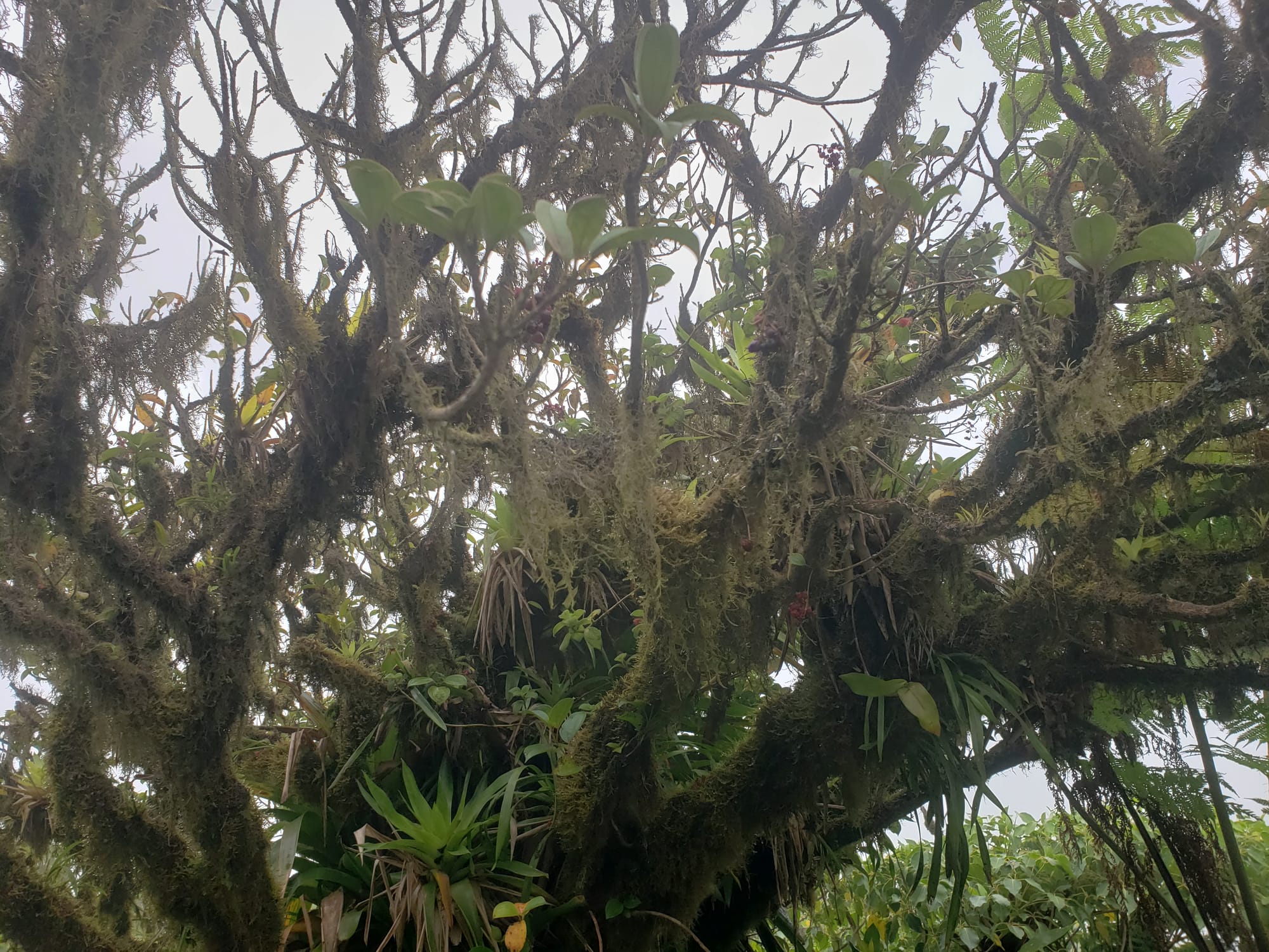
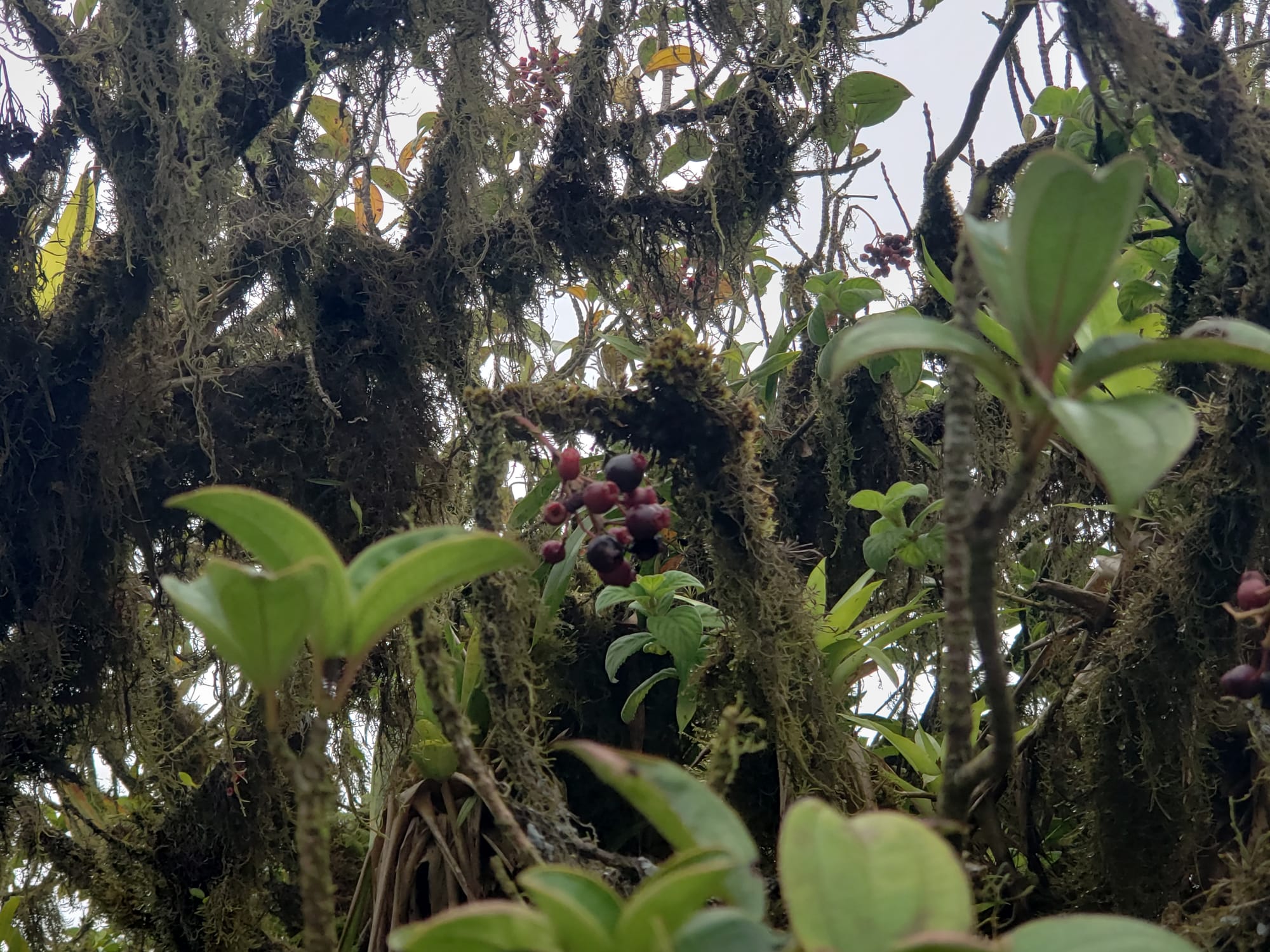
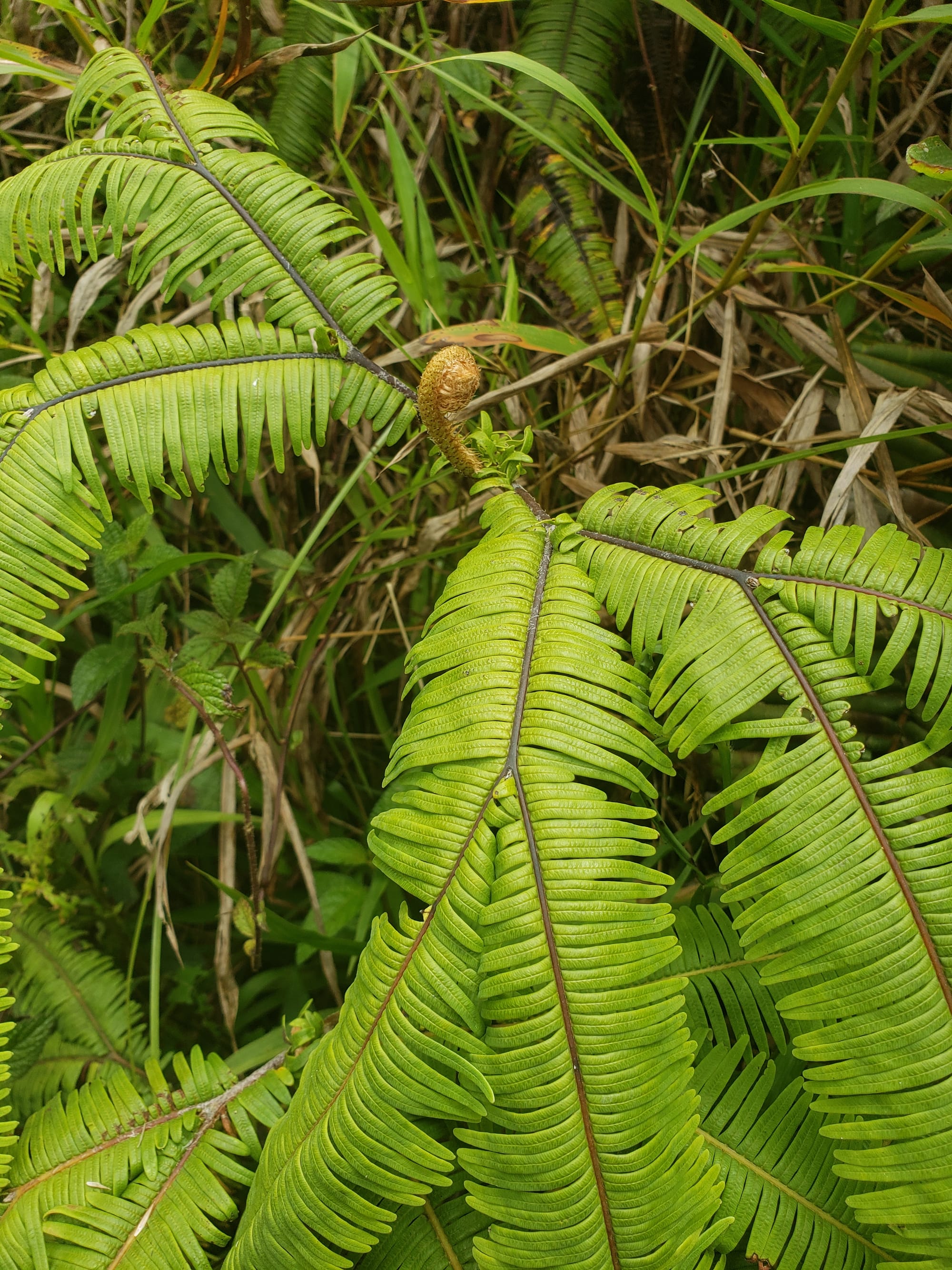
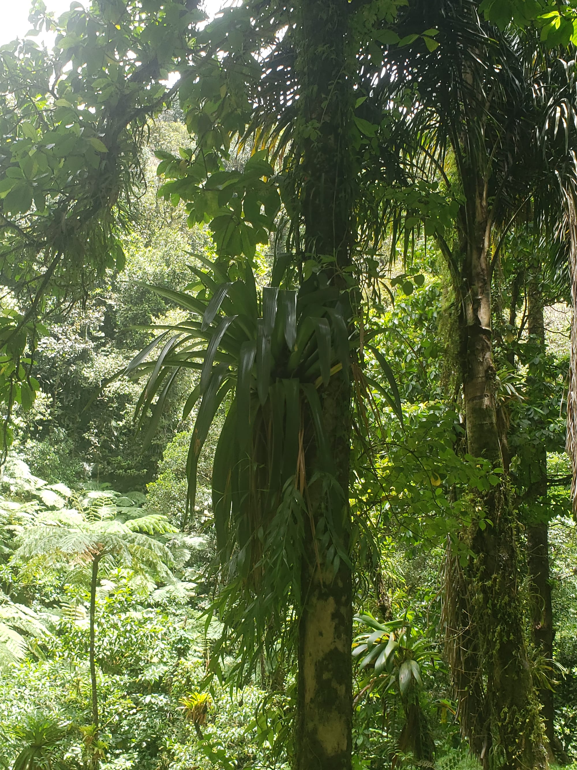
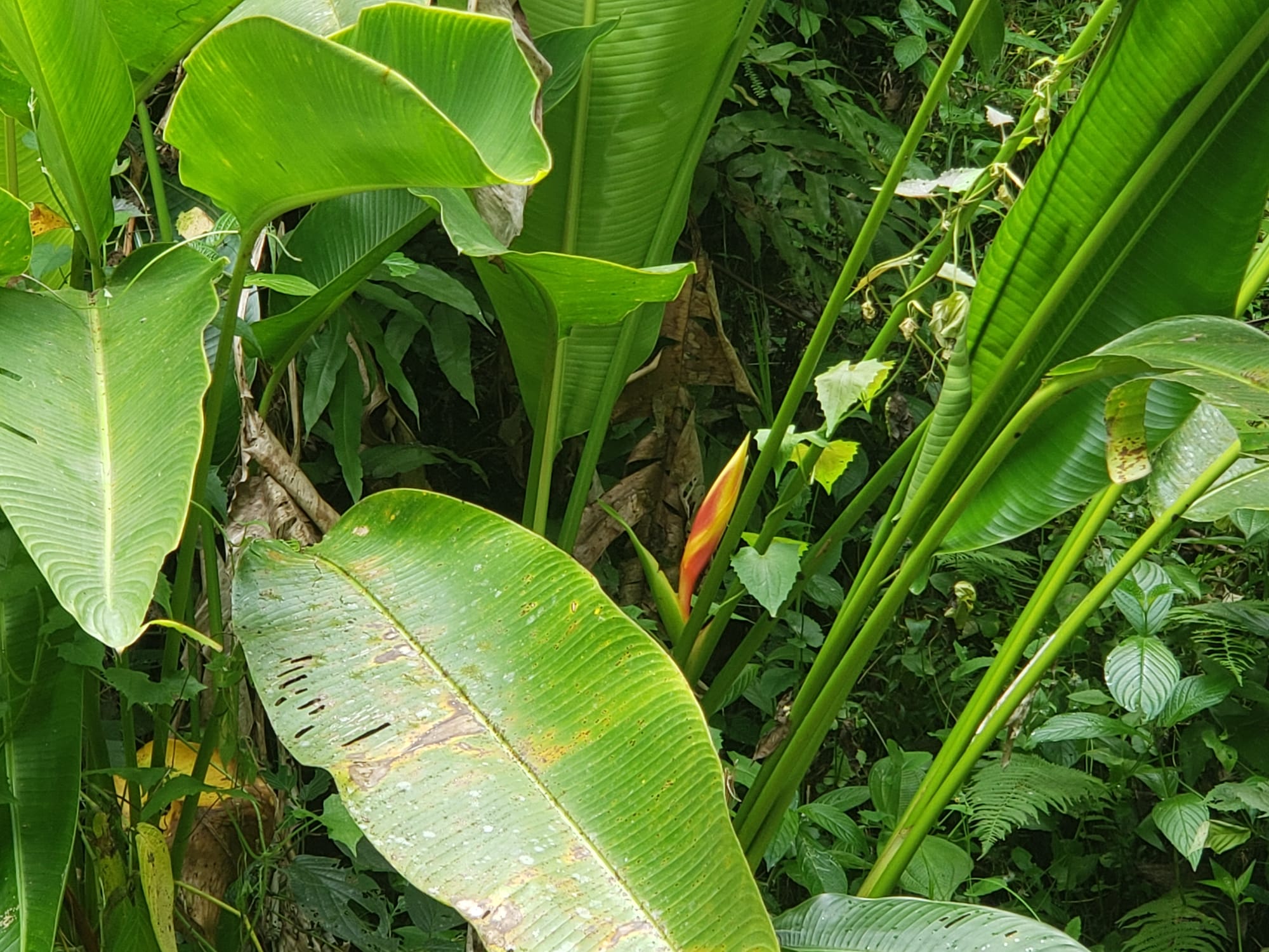
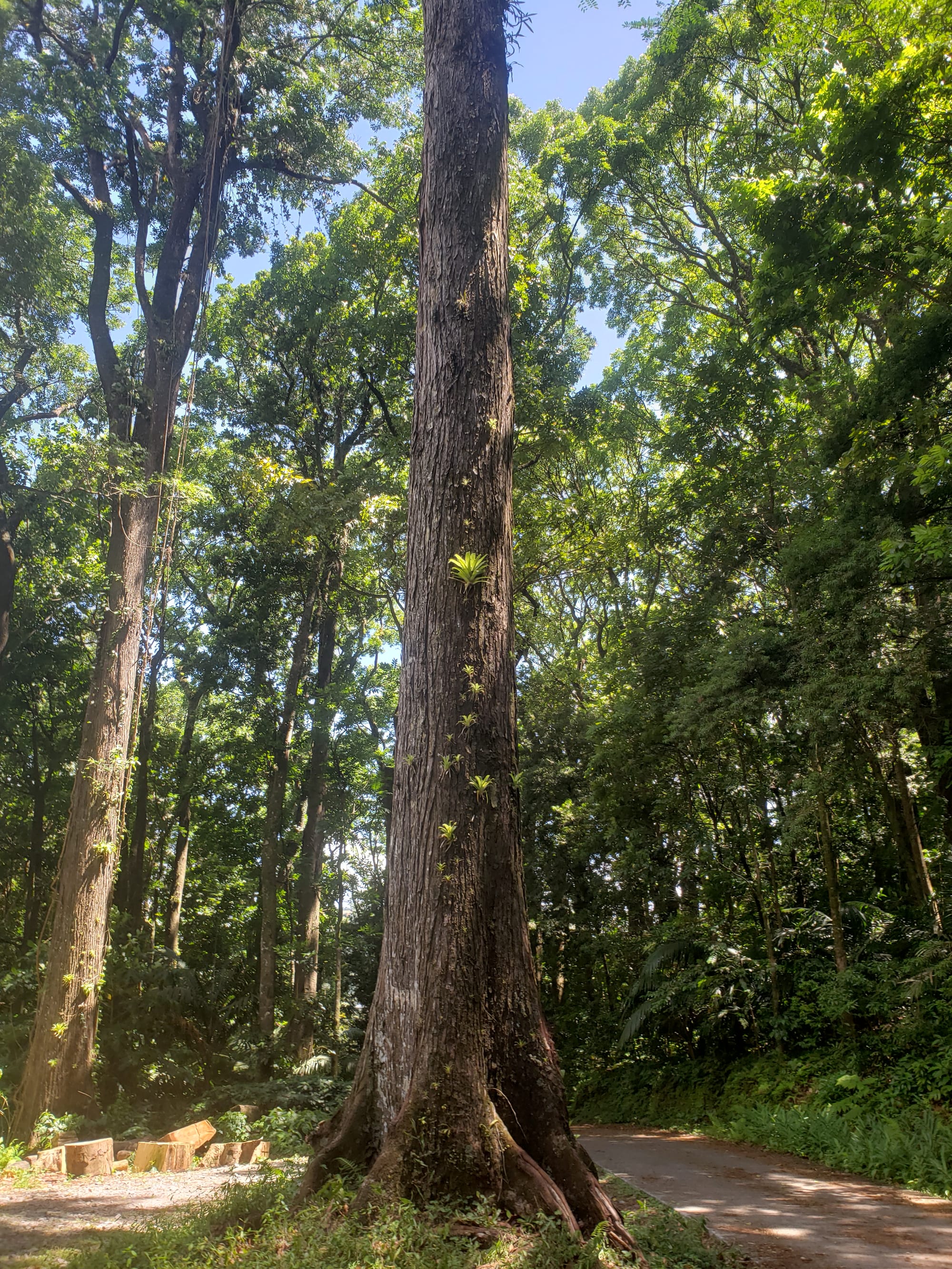
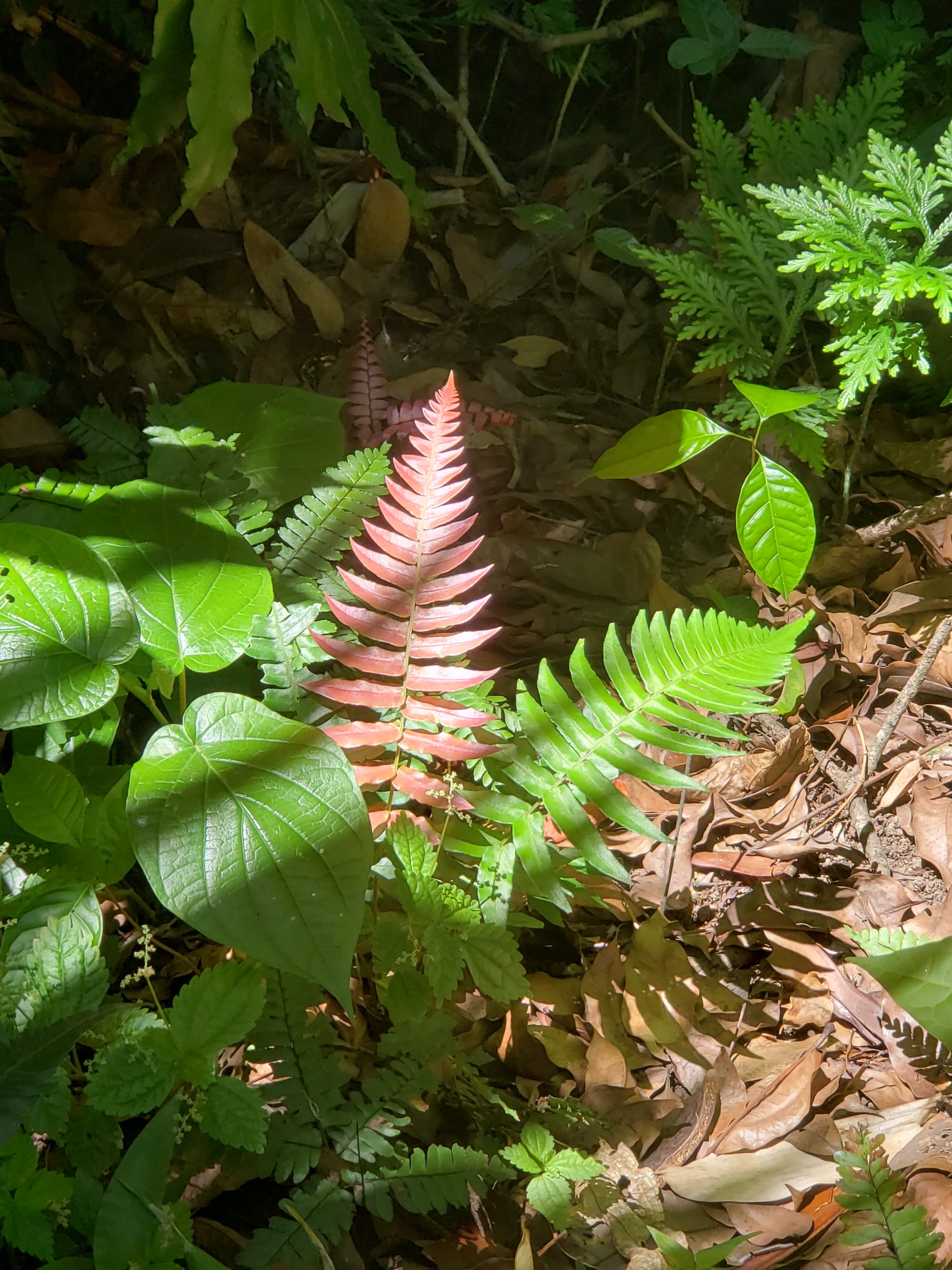
The trail was lovely, steep and slippery at times, but generally a nice walk.
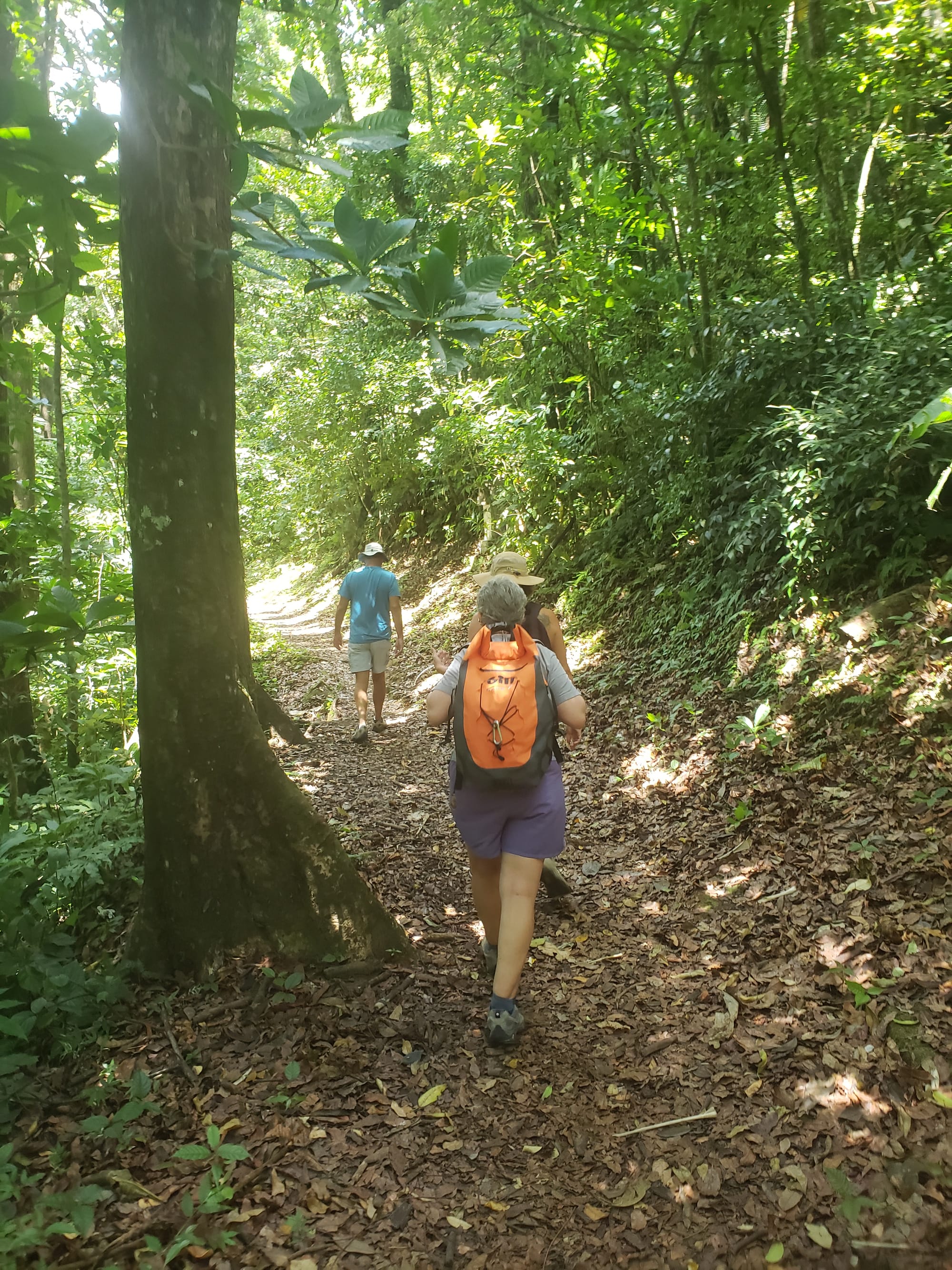
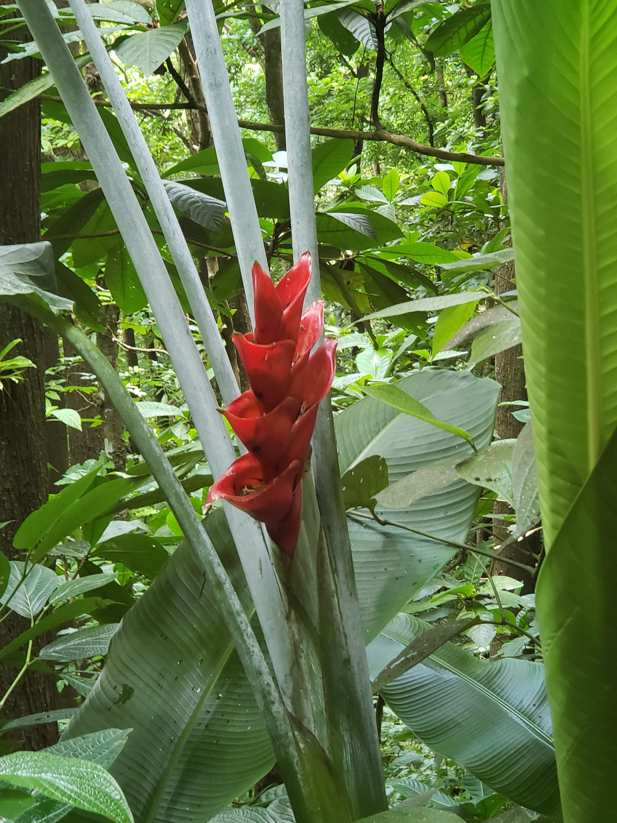
I think we would like to come back here and explore more next time.
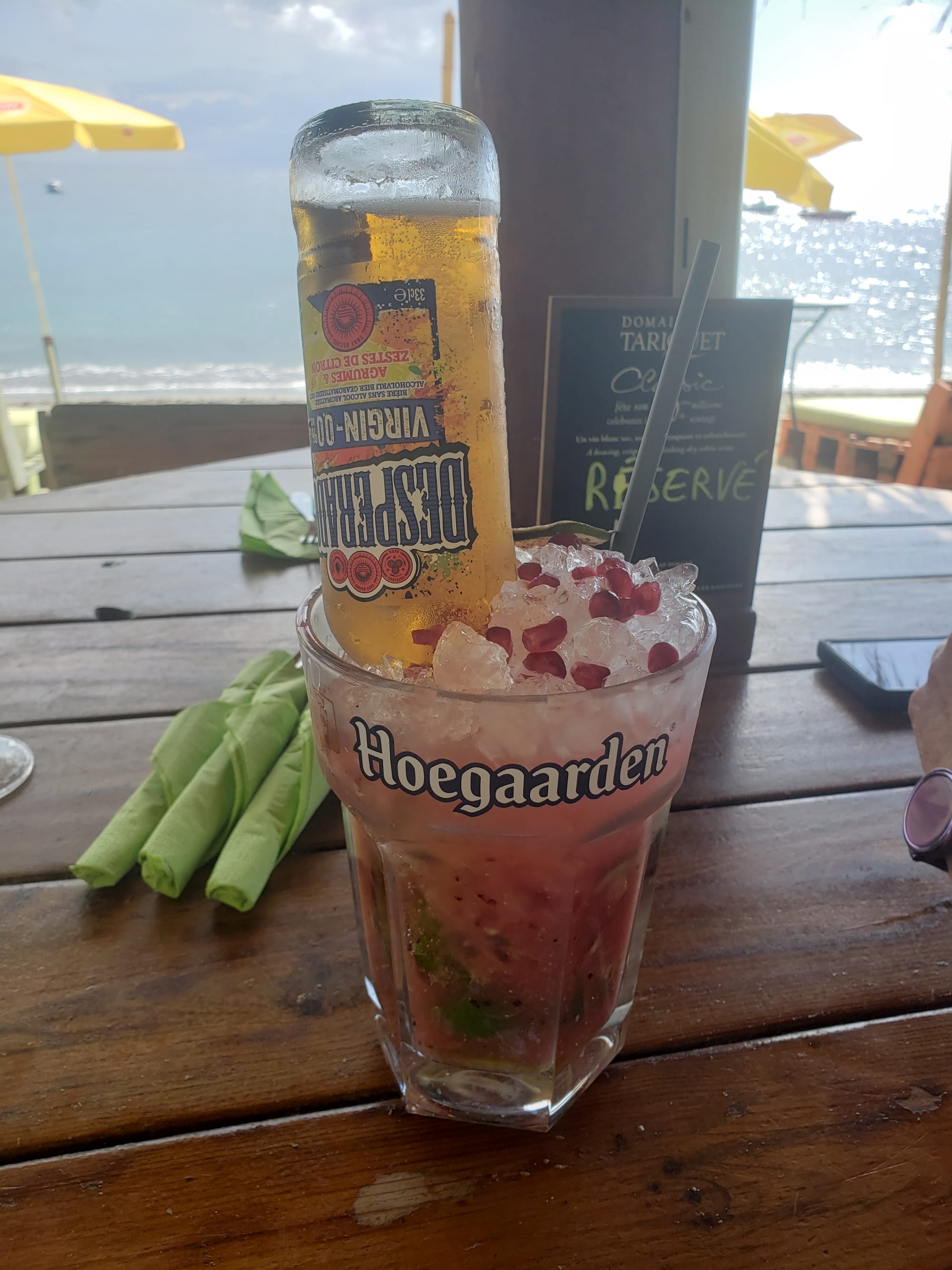
At this point, it was past 2pm, and we were really ready for lunch! Down the steep, narrow, winding road, we made our way to a beachside restaurant. Only to find that the kitchen had just closed.
They recommended another beachside restaurant not far up the road named Wahoo, which thankfully was open, and which served me this amazing drink.
We were exhausted, but satisfied with everything we had seen and done today. And it left us with a strong desire to get in better shape and explore more!